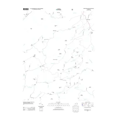
2013 Map of Montebello
USGS Topo · Published 2013About this map
Montebello and the surrounding high-altitude ridges of Nelson County are defined by a network of springs and headwaters in this 2013 survey. The prominent Montebello State Fish Hatchery is situated near the source of Mill Cr, highlighting the area's long-standing connection to aquatic conservation. Higher elevations are traversed by the Blue Ridge Pkwy, which winds past geographical landmarks like Yankee Horse Ridge and Irish Gap. The landscape is a complex of named peaks and hollows, where water features such as Statons Creek Falls and Lovingston Springs underscore the region's hydrography. Small settlements like Irish Creek and Alto remain connected by historic routes such as Irish Creek Rd and Coffeytown Rd, while hikers can locate the Seeley Woodworth Trail Shelter and Wiggins Spring Shelter along the mountain crests.
Find a feature on this map
75 named features on this map. Tap any name to fly to it.
Don’t see what you’re looking for? This feature index may not catch every label — zoom into the map to look around manually.
Map Details
Editions of this 2013 Montebello Map
This is the sole edition of this map. No revisions or reprints were ever made.
Other maps of this area

1894 · Lexington
USGS Topo · 1:125,000

1932 · Lexington
USGS Topo · 1:48,000

1935 · Buena Vista
USGS Topo · 1:48,000

1935 · Amherst
USGS Topo · 1:48,000

1936 · Vesuvius
USGS Topo · 1:48,000

1937 · Lexington
USGS Topo · 1:62,500

1939 · Amherst
USGS Topo · 1:62,500

1939 · Buena Vista
USGS Topo · 1:62,500

1940 · Buena Vista
USGS Topo · 1:62,500

1941 · Vesuvius
USGS Topo · 1:62,500