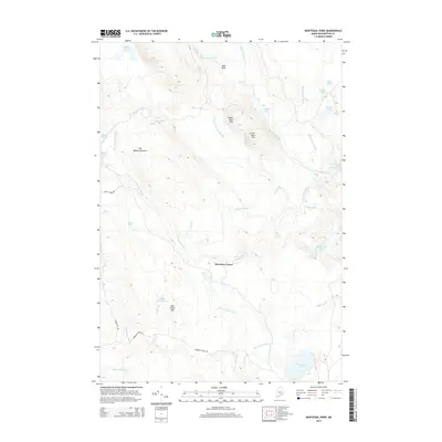
2014 Map of Montegail Pond
USGS Topo · Published 2014About this map
Brewster Corner serves as a small focal point within this reach of the Maine north woods, situated amidst a dense network of waterways and low summits. The landscape is defined by the Machias River, which winds through the eastern portion of the quadrangle over Upper Wigwam Rapids and past Machias Eddy. To the south, Montegail Pond and Montegail Stream drain a series of wetlands, while the northern terrain rises to prominent points like Bald Head and Upper Buck Mtn. The presence of Bombing Range Rd near Ben Tucker Mtn suggests a specialized historical use of this interior forest. This 2014 survey documents the persistence of traditional Downeast Maine geography, where named locations like Horse Rips and Penman Rips on the Mopang Stream indicate the subtle shifts in river elevation critical to local navigation and timber history.
Find a feature on this map
42 named features on this map. Tap any name to fly to it.
Don’t see what you’re looking for? This feature index may not catch every label — zoom into the map to look around manually.
Map Details
Editions of this 2014 Montegail Pond Map
This is the sole edition of this map. No revisions or reprints were ever made.
Other maps of this area

1902 · Cherryfield
USGS Topo · 1:62,500

1904 · Cherryfield
USGS Topo · 1:62,500

1921 · Columbia Falls
USGS Topo · 1:62,500

1921 · Columbia Falls
USGS Topo · 1:62,500

1941 · Columbia Falls
USGS Topo · 1:62,500

1941 · Wesley
USGS Topo · 1:62,500

1941 · Tug Mountain
USGS Topo · 1:62,500

1942 · Cherryfield
USGS Topo · 1:62,500

1942 · Columbia Falls
USGS Topo · 1:62,500

1943 · Tug Mountain
USGS Topo · 1:62,500