Old Maps of T18 MD BPP, Maine
Explore 34 old maps of T18 MD BPP, spanning from 1902 to today. These high-resolution historic maps reveal how streets, neighborhoods, landmarks, and natural features evolved over time — perfect for genealogy, metal detecting, research, and local history exploration.
What you can do with these maps:
- See how T18 MD BPP changed over time: Compare historical maps to modern-day views to trace roads, homesites, rail lines & more.
- View detailed metadata: Each map includes creators, publishers, year, scale, and archive source.
- Overlay maps with satellite & LiDAR: Visualize the past alongside modern tools to explore terrain & human change.
- Trusted historical sources: Maps sourced from the USGS, Library of Congress, and other archives.
- Access maps your way: View online, download high-res files, or order prints for personal or research use.
Start exploring old maps of T18 MD BPP to uncover forgotten places, hidden landmarks, and the deep history beneath your feet.
T18 MD BPP, ME maps
(34)- 1902 Map of Cherryfield, 1962 Print
 1902 Cherryfield1962 Print · USGSCoastal Washington County comes alive in the early 1900s, showing the vital connections between tidal rivers and the rails. Genealogists can trace family roots in Milbridge and Cherryfield, or locate old landings along the Steamboat Route.2 unique versions available
 - 1904 Map of Cherryfield
 1904 Cherryfield1904 Print · USGSThe coastal and barrens landscape of Washington County is captured here at the start of the twentieth century. Genealogists and local historians can trace family-named points and early settlements from Cherryfield down to the shores of Narraguagus Bay and Millbridge.5 unique versions available
 - 1941 Map of Tug Mountain, 1958 Print
 1941 Tug Mountain1958 Print · USGSWashington County during the early 1940s was a landscape of timber and remote sporting camps. You can trace early backcountry retreats like Worcester Lodge and Hartford Camp or follow the route of the historic Air Line Road past Tug Mountain.2 unique versions available
 - 1942 Map of Cherryfield
 1942 Cherryfield1942 Print · USGSCoastal Washington County in the early 1940s reveals a landscape of tidal bays and glacial barrens. Trace family roots and old land patterns in Cherryfield, Millbridge, and Harrington, or locate the scientific U S C & G SURVEY BASE LINE.
 - 1943 Map of Tug Mountain
 1943 Tug Mountain1943 Print · USGSThe Maine woods in the early 1940s reveal a network of logging dams and remote seasonal camps. Genealogists and historians can trace family-named sites like Worcester Lodge, Hartford Camp, and Ben Tucker Mtn along the Machias River.2 unique versions available
 - 1961 Map of Eastport
 1961 Eastport1961 Print · USGSThe maritime borderlands of Maine and New Brunswick are captured here in the early sixties, showing a world defined by the Bay of Fundy. Researchers can trace the Maine Central Railroad to Machiasport or explore remote island villages like Grand Harbour and Welchpool.
 - 1969 Map of Eastport
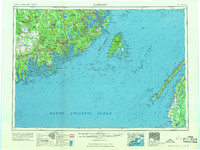 1969 Eastport1969 Print · USGSThe maritime borderlands of Washington County and New Brunswick appear in detail during the late sixties. Researchers can trace historic rail lines like the Maine Central Railroad and explore coastal settlements from Machias to St. Andrews.
 - 1976 Map of Eastport
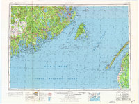 1976 Eastport1976 Print · USGSThe maritime borderlands of Maine and Nova Scotia come alive in this mid-seventies survey of the Downeast coast. Genealogists and historians can trace the shoreline settlements of Eastport, Lubec, and Machias, or cross the channel to find Acadian villages like Church Point and Meteghan Centre.
 - 1984 Map of Schoodic Lake, 1985 Print
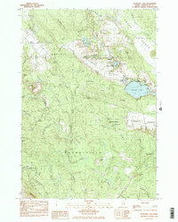 1984 Schoodic Lake1985 Print · USGSWashington County in the late 1970s and early 80s shows a landscape of blueberry production and wild river corridors. Trace family landmarks and local history through the Morse Cem, the Deblois Flight Strip, and the shores of Schoodic Lake.2 unique versions available
 - 1984 Map of Epping, 1985 Print
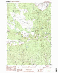 1984 Epping1985 Print · USGSCoastal Washington County in the late seventies is captured here, showing a landscape defined by vast peatlands and small river settlements. Researchers can locate Columbia Cem, the Little River Ch, and the winding Pleasant River through the Great Heath.2 unique versions available
 - 1985 Map of Machias, 1986 Print
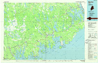 1985 Machias1986 Print · USGSThe Downeast coast of Maine in the 1980s reveals a landscape of deep-water bays, tidal rivers, and isolated timberlands. Researchers can trace the Maine Central rail line and locate coastal landmarks from Leighton Point to the U.S. Naval Radio Station.
 - 1990 Map of Montegail Pond
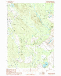 1990 Montegail Pond1990 Print · USGSWashington County, Maine, is shown here in the late twentieth century as a landscape of military installations and deep woods. Trace the footprint of the Columbia Falls Air Force Station or find local landmarks like Brewster Corner and the Six Mile Dam (Site).
 - 1990 Map of Northeast Bluff
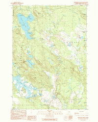 1990 Northeast Bluff1990 Print · USGSEastern Maine's interior reaches are documented here during the late twentieth century, showing a remote landscape of the Bingham Purchase. Researchers can trace the drainages of the Pleasant River and locate landmarks like Dorman Island, Northeast Bluff, and Spruce Ridge.
 - 1994 Map of Machias
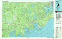 1994 Machias1994 Print · USGSThe Downeast coast of Maine in the 1990s is captured here, from the Narraguagus River to the Canadian border. Genealogists and historians can trace coastal settlements like Jonesboro and Addison or locate the U.S. Naval Radio Station and Moosehorn National Wildlife Refuge.
 - 2011 Map of Schoodic Lake, 2011 Print
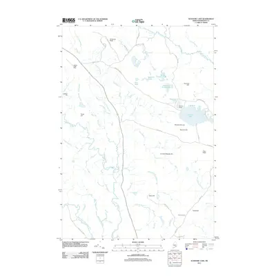 2011 Schoodic Lake2011 Print · USGSWashington County’s interior landscape comes into focus here during the early twenty-first century, showing a terrain defined by water and agriculture. Researchers can locate the Morse Cemetery and trace the drainage of the Narraguagus River past the Deblois Flight Strip and Blueberry Barrens.
 - 2011 Map of Epping, 2011 Print
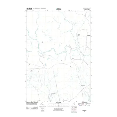 2011 Epping2011 Print · USGSWashington County, Maine, in the early 2010s shows a landscape of small riverfront hamlets and quiet woodlands. Researchers can trace local family lineages through Columbia Cemetery or follow the historic paths of Tibbettstown Rd and Station Rd.
 - 2011 Map of Montegail Pond, 2011 Print
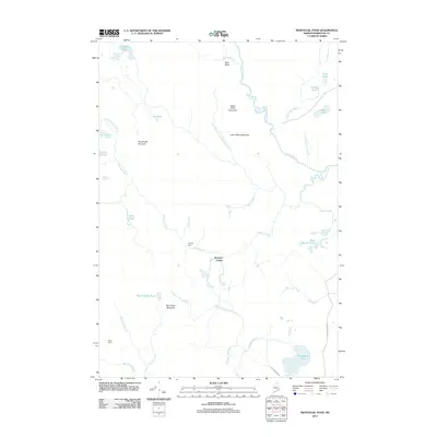 2011 Montegail Pond2011 Print · USGSWashington County at the start of the 2010s remains a wilderness of timber roads and winding waterways. Researchers can trace land use through Nash Timber Rd, or locate remote sites like Brewster Corner and Six Mile Dam.
 - 2011 Map of Northeast Bluff, 2011 Print
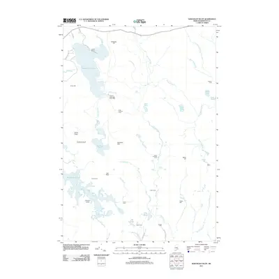 2011 Northeast Bluff2011 Print · USGSWashington County, Maine, was a landscape of remote camps and winding waterways in the early twenty-first century. Genealogists and local historians can locate specific family-named sites like Allison Worcester Camp and Pineo Camp or trace the drainage of the Bog Brook Flowage.
 - 2014 Map of Northeast Bluff, 2014 Print
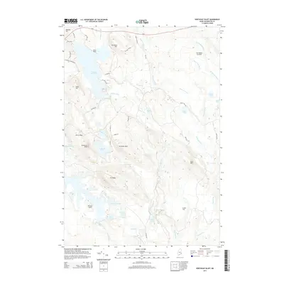 2014 Northeast Bluff2014 Print · USGSThe wilderness of eastern Maine is captured here in the early twenty-first century, showing a landscape defined by water and ridgelines. Trace the remote network of ponds and streams including Spruce Mountain Lake, Otter Pond, and the Pleasant River.
 - 2014 Map of Epping, 2014 Print
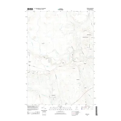 2014 Epping2014 Print · USGSCoastal Washington County in the early 2010s reveals a traditional landscape of riverfront villages and agricultural barrens. Local historians can trace the foundations of Epping and Columbia, or locate family sites near Malley Hill Cem and Tibbetts-Town.
 - 2014 Map of Montegail Pond, 2014 Print
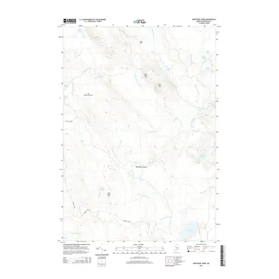 2014 Montegail Pond2014 Print · USGSWashington County, Maine, remains a landscape of sprawling timberlands and intricate river systems as seen in the twenty-first century. Researchers can trace land use through features like Brewster Corner or explore the drainage of Rocky Lake and Montegail Pond.
 - 2014 Map of Schoodic Lake, 2014 Print
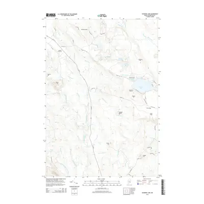 2014 Schoodic Lake2014 Print · USGSThe Maine interior near Cherryfield is captured here in the early twenty-first century, showing a landscape defined by glacial ridges and river systems. Researchers can trace family history at Morse Cem or explore the geography of the Blueberry Barrens and Schoodic Lake.
 - 2018 Map of Montegail Pond, 2018 Print
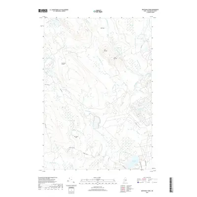 2018 Montegail Pond2018 Print · USGSWashington County’s interior timberlands and river systems are documented here in the early twenty-first century. Outdoor enthusiasts and local historians can trace the course of the Machias River past Little Falls and locate remote landmarks like Ben Tucker Mtn.
 - 2018 Map of Northeast Bluff, 2018 Print
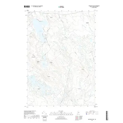 2018 Northeast Bluff2018 Print · USGSThe Washington County interior in the 2010s is a landscape of glacial bluffs and interconnected waterways. Researchers can trace the winding shoreline of Pleasant River Lake, identifying landforms like Dorman Island and Northeast Bluff.
 - 2018 Map of Epping, 2018 Print
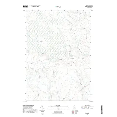 2018 Epping2018 Print · USGSThis rural Washington County landscape in the late 2010s shows a classic Maine pattern of small villages and vast peatlands. Researchers can locate family landmarks like Mailey Hill Cem and trace the paths of Great Marsh Stream and the Harrington River.
Showing maps 1-25 of 34
Top cities near T18 MD BPP
- Gouldsboro historical maps
- Milbridge historical maps
- Jonesport historical maps
- Sullivan historical maps
- Addison historical maps
- Steuben historical maps
See more
Frequently asked questions
- What are the different types of historical maps available for T18 MD BPP?
- What is the oldest map of T18 MD BPP?
- Where can I purchase historical maps of T18 MD BPP for my home or office?
- Where can I download high-res historical maps of T18 MD BPP?
- Are there historical topographic maps available for T18 MD BPP?
- Is there historical aerial imagery available for T18 MD BPP?
- Where are historical maps of T18 MD BPP sourced from?