2000s (21st Century) Maps of T18 MD BPP, Maine
Explore 20 historic maps of T18 MD BPP from the 2000s (21st Century). These maps offer a rare glimpse into what life looked like during the 2000s — showing old roads, neighborhoods, homes, and landmarks that have changed or disappeared over time.
Whether you're researching your family's past, planning a metal detecting trip, or studying how T18 MD BPP's landscape evolved across the 2000s, these high-resolution maps are a powerful tool for exploring the history of this region.
- Focus on a specific era: All maps on this page are from the 2000s, giving you a focused view of this time period.
- See what’s changed: Compare century-old streets, trails, and buildings to today's modern landscape using overlays and satellite layers.
- Research with precision: Use these maps for genealogy, historical research, land use analysis, or educational projects.
- View, download, or print: Maps are fully viewable online in high resolution, and can be downloaded or printed for your own records.
Start exploring T18 MD BPP's history through authentic maps from the 2000s. This is your window into the past.
T18 MD BPP, ME maps
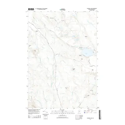
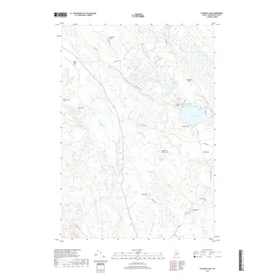
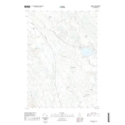
(20)- 2011 Map of Schoodic Lake, 2011 Print
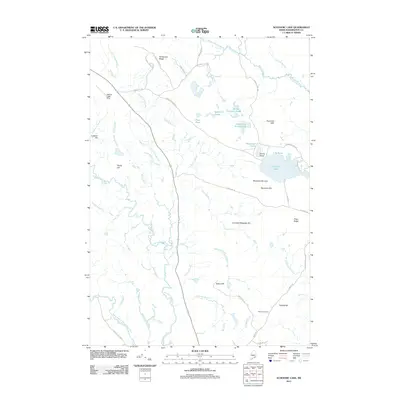 2011 Schoodic Lake2011 Print · USGSCovers T18 MD BPP, including Cherryfield, Columbia, and other nearby areas
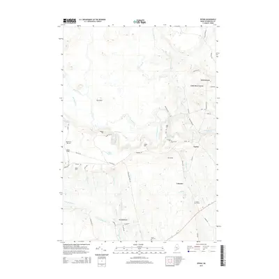
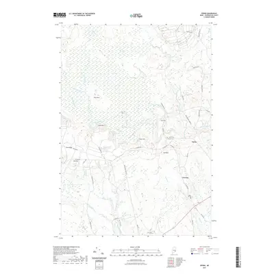
 - 2011 Map of Epping, 2011 Print
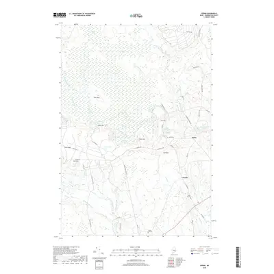
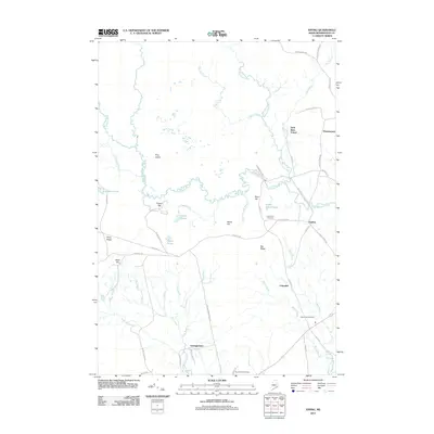 2011 Epping2011 Print · USGSCovers T18 MD BPP, including Addison, Cherryfield, and other nearby areas
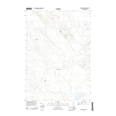
 - 2011 Map of Montegail Pond, 2011 Print
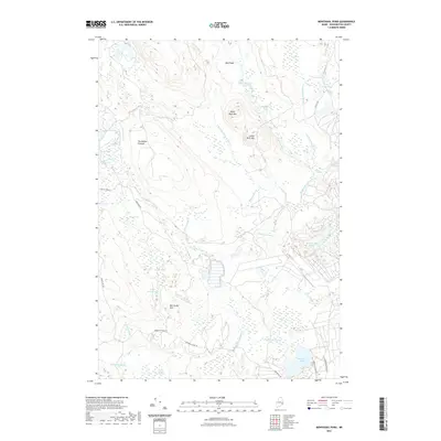
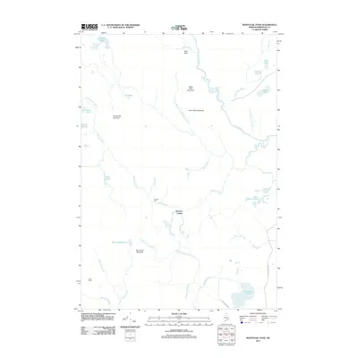 2011 Montegail Pond2011 Print · USGSCovers T18 MD BPP, including T19 MD BPP, T24 MD BPP, and other nearby areas
 - 2011 Map of Northeast Bluff, 2011 Print
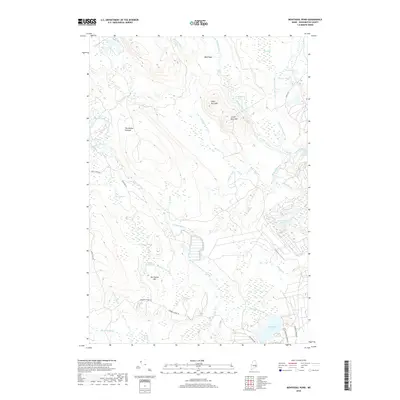
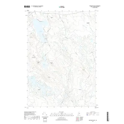
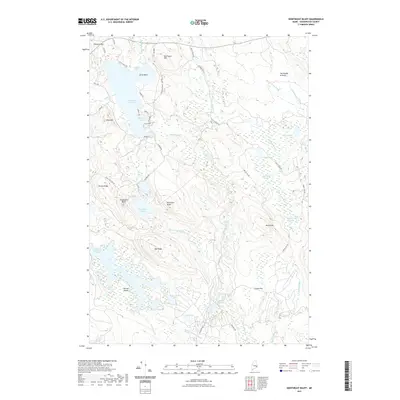
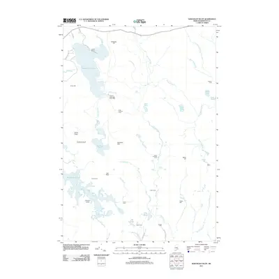 2011 Northeast Bluff2011 Print · USGSCovers T18 MD BPP, including Deblois, Beddington, and other nearby areas
 - 2014 Map of Northeast Bluff, 2014 Print
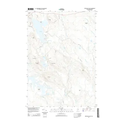 2014 Northeast Bluff2014 Print · USGSCovers T18 MD BPP, including Deblois, Beddington, and other nearby areas
 - 2014 Map of Epping, 2014 Print
 2014 Epping2014 Print · USGSCovers T18 MD BPP, including Addison, Cherryfield, and other nearby areas
 - 2014 Map of Montegail Pond, 2014 Print
 2014 Montegail Pond2014 Print · USGSCovers T18 MD BPP, including T19 MD BPP, T24 MD BPP, and other nearby areas
 - 2014 Map of Schoodic Lake, 2014 Print
 2014 Schoodic Lake2014 Print · USGSCovers T18 MD BPP, including Cherryfield, Columbia, and other nearby areas
 - 2018 Map of Montegail Pond, 2018 Print
 2018 Montegail Pond2018 Print · USGSCovers T18 MD BPP, including T19 MD BPP, T24 MD BPP, and other nearby areas
 - 2018 Map of Northeast Bluff, 2018 Print
 2018 Northeast Bluff2018 Print · USGSCovers T18 MD BPP, including Deblois, Beddington, and other nearby areas
 - 2018 Map of Epping, 2018 Print
 2018 Epping2018 Print · USGSCovers T18 MD BPP, including Addison, Cherryfield, and other nearby areas
 - 2018 Map of Schoodic Lake, 2018 Print
 2018 Schoodic Lake2018 Print · USGSCovers T18 MD BPP, including Cherryfield, Columbia, and other nearby areas
 - 2021 Map of Schoodic Lake, 2021 Print
 2021 Schoodic Lake2021 Print · USGSCovers T18 MD BPP, including Cherryfield, Columbia, and other nearby areas
 - 2021 Map of Montegail Pond, 2021 Print
 2021 Montegail Pond2021 Print · USGSCovers T18 MD BPP, including T19 MD BPP, T24 MD BPP, and other nearby areas
 - 2021 Map of Northeast Bluff, 2021 Print
 2021 Northeast Bluff2021 Print · USGSCovers T18 MD BPP, including Deblois, Beddington, and other nearby areas
 - 2021 Map of Epping, 2021 Print
 2021 Epping2021 Print · USGSCovers T18 MD BPP, including Addison, Cherryfield, and other nearby areas
 - 2024 Map of Schoodic Lake, 2024 Print
 2024 Schoodic Lake2024 Print · USGSThis Washington County landscape is captured in the early 2020s, showing a remote region shaped by the Narraguagus River system. Researchers can locate the Morse Cem near Peaked Hill or trace the isolation of the Deblois Flight Strip and Schoodic Lake.
 - 2024 Map of Epping, 2024 Print
 2024 Epping2024 Print · USGSCoastal Washington County is documented here in the early twenty-first century, showing the relationship between small villages and the vast Downeast wetlands. Researchers can locate family burial sites at John F Dorr Family Cemetery and trace terrain markers like Pineo Ridge or the Great Heath.
 - 2024 Map of Montegail Pond, 2024 Print
 2024 Montegail Pond2024 Print · USGSThe Maine backcountry in the twenty-first century remains a landscape of intricate waterways and timberlands. Researchers can trace the modern logging network via Bombing Range Rd while locating landmarks like Montegail Pond and Ben Tucker Mtn.
 - 2024 Map of Northeast Bluff, 2024 Print
 2024 Northeast Bluff2024 Print · USGSWashington County, Maine, is documented here in a modern era of forest management and intricate waterways. Trace the network of timber access roads and remote water bodies like Southwest Pond, Otter Pond, and the wide reaches of Pleasant River Lake.
End of results
Showing maps 1-20 of 20
Top cities near T18 MD BPP
- Gouldsboro historical maps
- Milbridge historical maps
- Jonesport historical maps
- Sullivan historical maps
- Addison historical maps
- Steuben historical maps
See more
Frequently asked questions
- What are the different types of historical maps available for T18 MD BPP?
- What is the oldest map of T18 MD BPP?
- Where can I purchase historical maps of T18 MD BPP for my home or office?
- Where can I download high-res historical maps of T18 MD BPP?
- Are there historical topographic maps available for T18 MD BPP?
- Is there historical aerial imagery available for T18 MD BPP?
- Where are historical maps of T18 MD BPP sourced from?