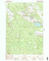
1984 Map of Schoodic Lake
USGS Topo · Published 1985About this map
The Narraguagus River and the Pleasant River define this corner of Washington County, where the landscape transitions between dense forest and specialized agricultural lands. The map highlights the extensive Blueberry Barrens of Deblois and Columbia, a defining feature of the local economy and ecology. A distinctive aviation landmark, the Deblois Flight Strip, is located near the northern reaches of the river, while a Fish Hatchery sits near Mic Mac Pond.
Find a feature on this map
60 named features on this map. Tap any name to fly to it.
Don’t see what you’re looking for? This feature index may not catch every label — zoom into the map to look around manually.
Map Details
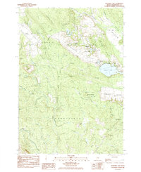
Editions of this 1984 Schoodic Lake Map
2 editions found
Other maps of this area

1902 · Cherryfield
USGS Topo · 1:62,500

1904 · Cherryfield
USGS Topo · 1:62,500

1929 · Lead Mountain
USGS Topo · 1:48,000

1930 · Tunk Lake
USGS Topo · 1:48,000

1932 · Tunk Lake
USGS Topo · 1:62,500

1932 · Lead Mountain
USGS Topo · 1:62,500

1941 · Tug Mountain
USGS Topo · 1:62,500

1942 · Cherryfield
USGS Topo · 1:62,500

1942 · Tunk Lake
USGS Topo · 1:62,500

1943 · Tug Mountain
USGS Topo · 1:62,500