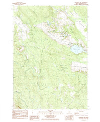
1984 Map of Schoodic Lake
USGS Topo · Published 1985About this map
The Narraguagus River and Pleasant River drainage basins define this section of Washington County, where the landscape is marked by the expansive Great Heath and various wetlands. In the mid-1980s, the terrain shows a clear divide between the forested highlands of Hardwood Ridge and the specialized agriculture of the Blueberry Barrens spanning across Deblois, Columbia, and Cherryfield.
Find a feature on this map
53 named features on this map. Tap any name to fly to it.
Don’t see what you’re looking for? This feature index may not catch every label — zoom into the map to look around manually.
Map Details
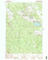
Editions of this 1984 Schoodic Lake Map
2 editions found
Other maps of this area

1902 · Cherryfield
USGS Topo · 1:62,500

1904 · Cherryfield
USGS Topo · 1:62,500

1929 · Lead Mountain
USGS Topo · 1:48,000

1930 · Tunk Lake
USGS Topo · 1:48,000

1932 · Tunk Lake
USGS Topo · 1:62,500

1932 · Lead Mountain
USGS Topo · 1:62,500

1941 · Tug Mountain
USGS Topo · 1:62,500

1942 · Cherryfield
USGS Topo · 1:62,500

1942 · Tunk Lake
USGS Topo · 1:62,500

1943 · Tug Mountain
USGS Topo · 1:62,500