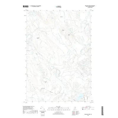
2018 Map of Montegail Pond
USGS Topo · Published 2018About this map
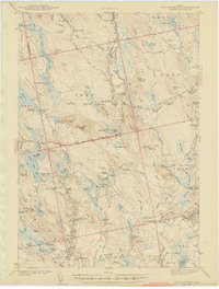
Upper Buck Mtn and Lower Buck Mtn anchor the eastern terrain of this Washington County landscape, where the Machias River flows past Ingley Cove and through the Upper Wigwam Rapids. The area is characterized by an extensive network of interior water bodies and wetlands, including Dead Pond, Grassy Pond, and the wide expanse of Brandy Heath. In the south, Montegail Pond serves as a central hydrological feature, fed by the Northwest Br Montegail Stream.
Find a feature on this map
47 named features on this map. Tap any name to fly to it.
Don’t see what you’re looking for? This feature index may not catch every label — zoom into the map to look around manually.
Map Details
Editions of this 2018 Montegail Pond Map
This is the sole edition of this map. No revisions or reprints were ever made.
Other maps of this area

1902 · Cherryfield
USGS Topo · 1:62,500

1904 · Cherryfield
USGS Topo · 1:62,500
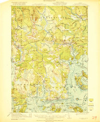
1921 · Columbia Falls
USGS Topo · 1:62,500
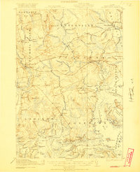
1921 · Columbia Falls
USGS Topo · 1:62,500
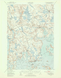
1941 · Columbia Falls
USGS Topo · 1:62,500
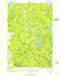
1941 · Wesley
USGS Topo · 1:62,500
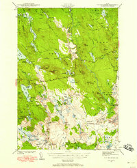
1941 · Tug Mountain
USGS Topo · 1:62,500
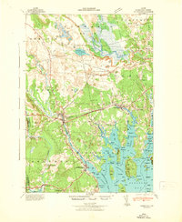
1942 · Cherryfield
USGS Topo · 1:62,500
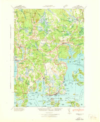
1942 · Columbia Falls
USGS Topo · 1:62,500
1943 · Tug Mountain
USGS Topo · 1:62,500