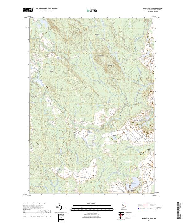
2024 Map of Montegail Pond
USGS Topo · Published 2024About this map
Montegail Pond and the surrounding wilderness of Washington County define this modern topographic study of Maine's interior. The landscape is a complex network of wetlands and waterways, where Mopang Stream and the Machias River wind through low-lying areas like Brandy Heath and Taylor Branch Swamp. Notable elevations such as Upper Buck Mtn and Ben Tucker Mtn rise above the basin, providing landmarks for the logging roads that crisscross the territory. Cultural geography is represented by a sparse network of private roads, including Bombing Range Rd and Shadagee Rd, which serve the area's timber and recreational interests. This map highlights the unique hydrology of the region, featuring distinctive rapids and eddies like Horse Rips and Machias Eddy that have long guided movement through these woods.
Find a feature on this map
47 named features on this map. Tap any name to fly to it.
Don’t see what you’re looking for? This feature index may not catch every label — zoom into the map to look around manually.
Map Details
Editions of this 2024 Montegail Pond Map
This is the sole edition of this map. No revisions or reprints were ever made.
Other maps of this area

1902 · Cherryfield
USGS Topo · 1:62,500

1904 · Cherryfield
USGS Topo · 1:62,500

1921 · Columbia Falls
USGS Topo · 1:62,500

1921 · Columbia Falls
USGS Topo · 1:62,500

1941 · Columbia Falls
USGS Topo · 1:62,500

1941 · Wesley
USGS Topo · 1:62,500

1941 · Tug Mountain
USGS Topo · 1:62,500

1942 · Cherryfield
USGS Topo · 1:62,500

1942 · Columbia Falls
USGS Topo · 1:62,500

1943 · Tug Mountain
USGS Topo · 1:62,500