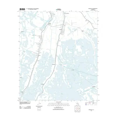
2012 Map of Montegut
USGS Topo · Published 2012About this map
Bayou Terrebonne and Bayou Petit Caillou define the inhabited corridors of this Terrebonne Parish landscape, where residential settlements cling to the narrow natural levees between sprawling marshlands. In this early 21st-century record, the town of Montegut and the village of Chauvin serve as central hubs, connected by a network of waterways including the Humble Canal and Boudreaux Canal. The landscape is a complex intersection of natural bayous and industrial infrastructure, with extensive energy extraction sites like the Lirette Oil and Gas Field and South Chauvin Gas Field integrated into the wetlands. Local heritage is preserved in several family and parish burial grounds, including Thibodaux Cem and Dugas Cem, while names like Sarah Plantation and Smith Ridge point to the region's agricultural past and the distinct topography that allowed for early settlement.
Find a feature on this map
75 named features on this map. Tap any name to fly to it.
Don’t see what you’re looking for? This feature index may not catch every label — zoom into the map to look around manually.
Map Details
Editions of this 2012 Montegut Map
This is the sole edition of this map. No revisions or reprints were ever made.
Other maps of this area

1892 · Cut-Off
USGS Topo · 1:62,500

1892 · Houma
USGS Topo · 1:62,500

1894 · Lake Felicity
USGS Topo · 1:62,500

1894 · Dulac
USGS Topo · 1:62,500

1932 · Houma SE
USGS Topo · 1:31,680

1932 · Houma SW
USGS Topo · 1:31,680

1935 · Bourbeux
USGS Topo · 1:31,680

1935 · Viguerie Canal
USGS Topo · 1:31,680

1935 · Montegut
USGS Topo · 1:31,680

1935 · Lake Quitman
USGS Topo · 1:31,680