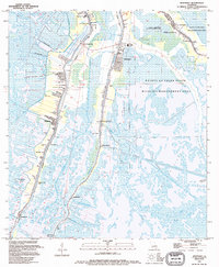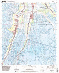
2024 Map of Montegut
USGS Topo · Published 2024About this map
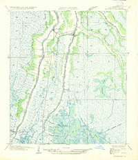
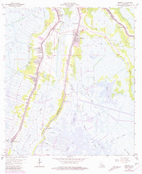
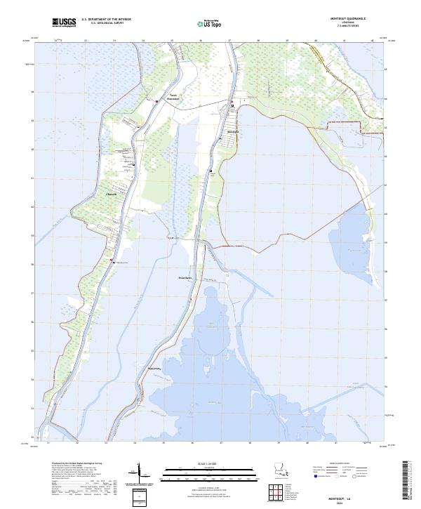
Bayou Terrebonne and Bayou Petit Caillou anchor this landscape of Terrebonne Parish, where linear settlements cling to the narrow natural levees between the expansive marsh and open water. The map documents the intricate network of canals, such as New Canal and Madison Canal, that facilitate movement through the bayous and bays including Madison Bay and Wonder Lake. The settlement patterns here are distinctly tied to the hydrology, with roads like Montegut Rd following the high ground alongside the water.
Find a feature on this map
132 named features on this map. Tap any name to fly to it.
Don’t see what you’re looking for? This feature index may not catch every label — zoom into the map to look around manually.
Map Details
Editions of this 2024 Montegut Map
This is the sole edition of this map. No revisions or reprints were ever made.
Historical Maps of Montegut Through Time
5 maps found