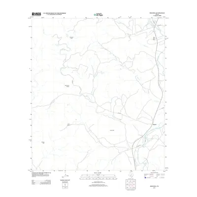
2013 Map of Montell
USGS Topo · Published 2013About this map
Montell stands at the eastern edge of this landscape, positioned along the winding course of the Nueces River. The terrain is defined by a complex network of seasonal drainages including Montell Cr, Cedar Cr, and Maverick Cr, which carve through the high ground of the Edwards Plateau. Distinctive topographic landmarks such as Boiling Mtn, Hayes Mtn, and Shoe Peg Mtn provide significant vertical relief above the valleys. Numerous water sources are documented throughout the hills, including Dripping Spring, Norton Spring, and the curiously named Fat Hog Spring. Local history is embedded in the naming of features like Cow Cave Bluff and Machinery Hollow, while Nueces Lake serves as a prominent water body in the northeastern corner of the quadrangle.
Find a feature on this map
25 named features on this map. Tap any name to fly to it.
Don’t see what you’re looking for? This feature index may not catch every label — zoom into the map to look around manually.
Map Details
Editions of this 2013 Montell Map
This is the sole edition of this map. No revisions or reprints were ever made.
Other maps of this area

1893 · Nueces
USGS Topo · 1:125,000

1896 · Nueces
USGS Topo · 1:125,000

1896 · Brackett
USGS Topo · 1:125,000

1897 · Brackett
USGS Topo · 1:125,000

1898 · Uvalde
USGS Topo · 1:125,000

1899 · Uvalde
USGS Topo · 1:125,000

1938 · Turkey Mountain
USGS Topo · 1:48,000

1943 · Turkey Mountain
USGS Topo · 1:62,500

1944 · Barksdale
USGS Topo · 1:62,500

1954 · San Antonio
USGS Topo · 1:250,000