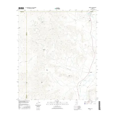
2016 Map of Montell
USGS Topo · Published 2016About this map
The Nueces River valley defines this pocket of southwest Texas, where the small community of Montell sits near the river's bend. This 2016 survey shows a landscape of deep canyons and named hollows, punctuated by vital water sources like Fat Hog Spring and Dripping Spring. The area's topography is remarkably distinct, featuring high points such as Boiling Mtn and the sheer Cow Cave Bluff.
Find a feature on this map
36 named features on this map. Tap any name to fly to it.
Don’t see what you’re looking for? This feature index may not catch every label — zoom into the map to look around manually.
Map Details
Editions of this 2016 Montell Map
This is the sole edition of this map. No revisions or reprints were ever made.
Other maps of this area

1893 · Nueces
USGS Topo · 1:125,000

1896 · Nueces
USGS Topo · 1:125,000

1896 · Brackett
USGS Topo · 1:125,000

1897 · Brackett
USGS Topo · 1:125,000

1898 · Uvalde
USGS Topo · 1:125,000

1899 · Uvalde
USGS Topo · 1:125,000

1938 · Turkey Mountain
USGS Topo · 1:48,000

1943 · Turkey Mountain
USGS Topo · 1:62,500

1944 · Barksdale
USGS Topo · 1:62,500

1954 · San Antonio
USGS Topo · 1:250,000