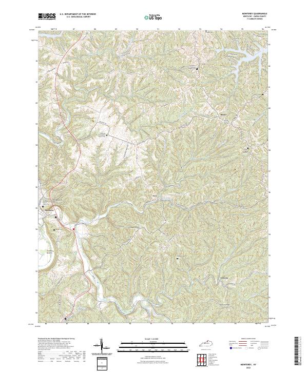
2022 Map of Monterey
USGS Topo · Published 2022About this map
The Kentucky River valley around Monterey is defined by a dense network of ridges and winding creek bottoms, where small settlements and rural congregations have persisted for generations. This 2022 survey documents the enduring topography of Owen County, centered on the community of Monterey near Craddock Bottom and Honeysuckle Hill. The landscape is etched by waterways such as Greenup Cr, Elk Lick Cr, and Sawdridge Cr, which historically dictated the paths of travel through this dissected terrain.
Find a feature on this map
83 named features on this map. Tap any name to fly to it.
Don’t see what you’re looking for? This feature index may not catch every label — zoom into the map to look around manually.
Map Details
Editions of this 2022 Monterey Map
This is the sole edition of this map. No revisions or reprints were ever made.
Other maps of this area

1906 · Lockport
USGS Topo · 1:48,000

1908 · Lockport
USGS Topo · 1:62,500

1939 · Sadieville
USGS Topo · 1:62,500

1950 · New Liberty
USGS Topo · 1:24,000

1950 · Owenton
USGS Topo · 1:24,000

1950 · Lawrenceville
USGS Topo · 1:24,000

1953 · Monterey
USGS Topo · 1:24,000

1953 · Gratz
USGS Topo · 1:24,000

1953 · Polsgrove
USGS Topo · 1:24,000
1953 · Stamping Ground
USGS Topo · 1:24,000