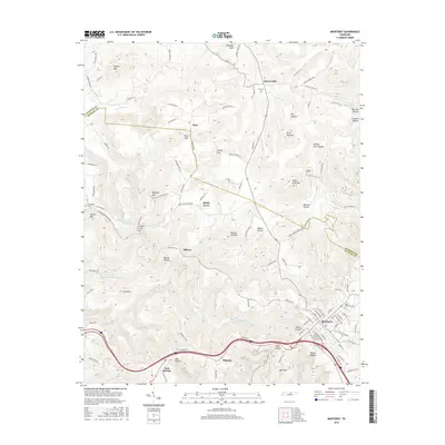
2016 Map of Monterey
USGS Topo · Published 2016About this map
The town of Monterey anchors the southeastern corner of this map, situated where the terrain begins to break into the complex hollows and coves characteristic of the Cumberland Plateau. The landscape is defined by its deep vertical relief, moving from named peaks like Kitty Ray Mtn and Turkey Mtn down into several "hollows" such as Dry Hollow and Welch Hollow. This 2016 survey documents the modern layout of the Overton Co Putnam Co boundary, which cuts diagonally across the northeastern quadrant.
Find a feature on this map
113 named features on this map. Tap any name to fly to it.
Don’t see what you’re looking for? This feature index may not catch every label — zoom into the map to look around manually.
Map Details
Editions of this 2016 Monterey Map
This is the sole edition of this map. No revisions or reprints were ever made.
Other maps of this area

1897 · Standingstone
USGS Topo · 1:125,000

1898 · Standingstone
USGS Topo · 1:125,000

1935 · Campbell Junction
USGS Topo · 1:24,000

1943 · Cookeville
USGS Topo · 1:100,000

1944 · Cookeville
USGS Topo · 1:100,000

1946 · Campbell Junction
USGS Topo · 1:24,000

1946 · Obey City
USGS Topo · 1:24,000
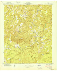
1950 · Obey City
USGS Topo · 1:24,000
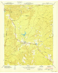
1950 · Campbell Junction
USGS Topo · 1:24,000

1951 · Windle
USGS Topo · 1:24,000