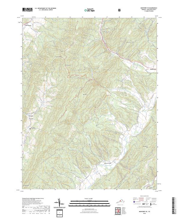
2022 Map of Monterey SE
USGS Topo · Published 2022About this map
McDowell and Doe Hill anchor this portion of Highland County, where the ridges of the Allegheny Mountains dictate the movement of water and travelers alike. The Bullpasture River winds through the valley floor, joined by tributaries such as Crab Run and Davis Run. The settlement pattern follows these narrow corridors, with small communities like Clover Creek and Trimble situated along the base of massive landforms including Jack Mountain and Bullpasture Mtn.
Find a feature on this map
41 named features on this map. Tap any name to fly to it.
Don’t see what you’re looking for? This feature index may not catch every label — zoom into the map to look around manually.
Map Details
Editions of this 2022 Monterey SE Map
This is the sole edition of this map. No revisions or reprints were ever made.
Other maps of this area

1894 · Staunton
USGS Topo · 1:125,000

1901 · Monterey
USGS Topo · 1:125,000

1924 · Mc Dowell
USGS Topo · 1:62,500

1941 · Monterey
USGS Topo · 1:62,500

1943 · Craigsville
USGS Topo · 1:62,500

1944 · Monterey
USGS Topo · 1:62,500

1944 · Mc Dowell
USGS Topo · 1:62,500

1945 · Craigsville
USGS Topo · 1:62,500

1946 · Mc Dowell
USGS Topo · 1:62,500

1946 · Williamsville
USGS Topo · 1:62,500