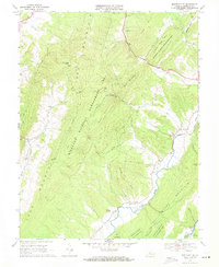
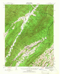
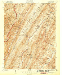
1969 Map of Monterey SE
USGS Topo · Published 1971About this map
Jack Mountain and Bullpasture Mountain dominate this corner of Highland County, framing a landscape defined by sharp ridges and deep agricultural hollows. The Bullpasture River winds through the eastern valley, serving as the primary corridor for small settlements like Clover Creek and Trimble. This 1969 field-checked survey by the Commonwealth of Virginia Division of Mineral Resources highlights the transition from managed forest to private river bottom land.
Find a feature on this map
26 named features on this map. Tap any name to fly to it.
Don’t see what you’re looking for? This feature index may not catch every label — zoom into the map to look around manually.
Map Details
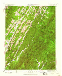
Editions of this 1969 Monterey SE Map
2 editions found

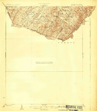
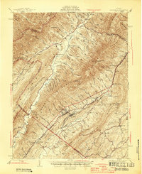
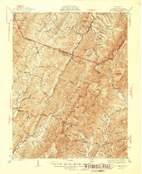
Other maps of this area

1894 · Staunton
USGS Topo · 1:125,000

1901 · Monterey
USGS Topo · 1:125,000
1924 · Mc Dowell
USGS Topo · 1:62,500
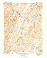
1941 · Monterey
USGS Topo · 1:62,500
1943 · Craigsville
USGS Topo · 1:62,500
1944 · Monterey
USGS Topo · 1:62,500
1944 · Mc Dowell
USGS Topo · 1:62,500
1945 · Craigsville
USGS Topo · 1:62,500
1946 · Mc Dowell
USGS Topo · 1:62,500

1946 · Williamsville
USGS Topo · 1:62,500