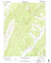
1969 Map of Monterey SE
USGS Topo · Published 1971About this map
Jack Mountain and Bullpasture Mountain dominate this late-1960s landscape, framing a series of narrow valleys where early mountain life centered around water and worship. The Bullpasture River and Crab Run serve as the primary corridors for small communities like Vanderpool and Clover Creek. Local spiritual life is anchored by Hamilton Chapel, New Salem Ch, and Southall Chapel, each positioned along the winding valley floors near family farmsteads and rural Cem sites.
Find a feature on this map
31 named features on this map. Tap any name to fly to it.
Don’t see what you’re looking for? This feature index may not catch every label — zoom into the map to look around manually.
Map Details
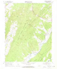
Editions of this 1969 Monterey SE Map
2 editions found
Other maps of this area

1894 · Staunton
USGS Topo · 1:125,000

1901 · Monterey
USGS Topo · 1:125,000

1924 · Mc Dowell
USGS Topo · 1:62,500

1941 · Monterey
USGS Topo · 1:62,500

1943 · Craigsville
USGS Topo · 1:62,500

1944 · Monterey
USGS Topo · 1:62,500

1944 · Mc Dowell
USGS Topo · 1:62,500

1945 · Craigsville
USGS Topo · 1:62,500

1946 · Mc Dowell
USGS Topo · 1:62,500

1946 · Williamsville
USGS Topo · 1:62,500