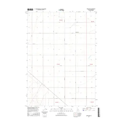
2017 Map of Monteview
USGS Topo · Published 2017About this map
Monteview serves as the central hub for this corner of the Snake River Plain in Jefferson County, where a rigid grid of agricultural roads defines the high desert landscape. The presence of the North Lake Canal and McKevitt Ditch highlights the critical role of irrigation infrastructure in making this arid region viable for farming. Surveyed in 2017, the map illustrates the precise Township and Range divisions, such as t8n r33e and t7n r34e, which have governed land use here for generations. While the terrain remains relatively level, the infrastructure of rural life is meticulously recorded, including Schwendig Rd, Mitchell Rd, and Staley Rd, providing a clear record of the local transportation network that connects remote ranching and farming operations.
Find a feature on this map
25 named features on this map. Tap any name to fly to it.
Don’t see what you’re looking for? This feature index may not catch every label — zoom into the map to look around manually.
Map Details
Editions of this 2017 Monteview Map
This is the sole edition of this map. No revisions or reprints were ever made.
Other maps of this area

1955 · Dubois
USGS Topo · 1:250,000

1955 · Idaho Falls
USGS Topo · 1:250,000

1958 · Dubois
USGS Topo · 1:250,000

1958 · Idaho Falls
USGS Topo · 1:250,000

1964 · Terreton
USGS Topo · 1:24,000

1964 · Cedar Butte SW
USGS Topo · 1:24,000

1964 · Mud Lake NW
USGS Topo · 1:24,000

1969 · Lidy Hot Springs SE
USGS Topo · 1:24,000

1969 · Antelope Butte
USGS Topo · 1:24,000

1969 · Circular Butte
USGS Topo · 1:24,000