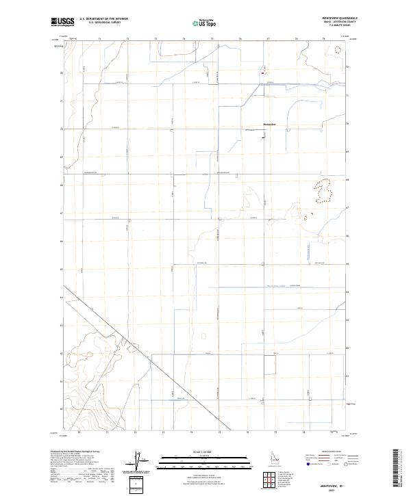
2023 Map of Monteview
USGS Topo · Published 2023About this map
Monteview serves as the central settlement in this portion of Jefferson County, Idaho, where a meticulously planned grid of county roads defines the agricultural landscape. The township and range lines of T8N R33E and T7N R34E divide the territory into regular sections, reflecting the legacy of the Public Land Survey System. Vital irrigation infrastructure, including the North Lake Canal and McKevitt Ditch, cuts through the geometric landscape, illustrating the critical role of water management in this high-desert region. The road network, including arterial routes like Wadsworth Rd and Schwendig Rd, follows these section boundaries, connecting remote farmsteads to the core of the small community.
Find a feature on this map
26 named features on this map. Tap any name to fly to it.
Don’t see what you’re looking for? This feature index may not catch every label — zoom into the map to look around manually.
Map Details
Editions of this 2023 Monteview Map
This is the sole edition of this map. No revisions or reprints were ever made.
Other maps of this area

1955 · Dubois
USGS Topo · 1:250,000

1955 · Idaho Falls
USGS Topo · 1:250,000

1958 · Dubois
USGS Topo · 1:250,000

1958 · Idaho Falls
USGS Topo · 1:250,000

1964 · Terreton
USGS Topo · 1:24,000

1964 · Cedar Butte SW
USGS Topo · 1:24,000

1964 · Mud Lake NW
USGS Topo · 1:24,000

1969 · Lidy Hot Springs SE
USGS Topo · 1:24,000

1969 · Antelope Butte
USGS Topo · 1:24,000

1969 · Circular Butte
USGS Topo · 1:24,000