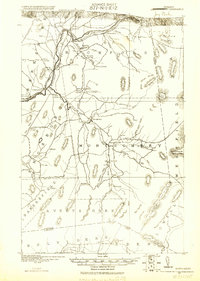
1920 Map of Montgomery
USGS Topo · Published 1920About this map
Missisquoi River valley life at the Vermont-Quebec border is detailed in this military survey, which documents a landscape defined by small clusters of settlement and timber-driven industry. The Canadian Pacific R. R. follows the river through Richford and Stevens Mills, while the interior of Montgomery is marked by a network of family-named junctions such as Marcy Corner, Hadds Corner, and Farrar Corner. These labels indicate a deeply rooted rural community where schoolhouses like Notch School and South School served isolated homesteads.
Find a feature on this map
62 named features on this map. Tap any name to fly to it.
Don’t see what you’re looking for? This feature index may not catch every label — zoom into the map to look around manually.
Map Details
Editions of this 1920 Montgomery Map
This is the sole edition of this map. No revisions or reprints were ever made.
Other maps of this area
1919 · Montgomery
USGS Topo · 1:62,500
1920 · Franklin Pond
USGS Topo · 1:62,500
1920 · Irasburg
USGS Topo · 1:62,500
1922 · Enosburg Falls
USGS Topo · 1:48,000
1923 · Irasburg
USGS Topo · 1:48,000
1924 · Enosburg Falls
USGS Topo · 1:62,500
1925 · Irasburg
USGS Topo · 1:62,500
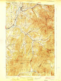
1925 · Jay Peak
USGS Topo · 1:62,500
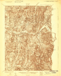
1925 · Mount Mansfield
USGS Topo · 1:48,000
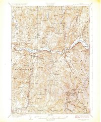
1927 · Mount Mansfield
USGS Topo · 1:62,500