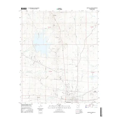
2017 Map of Monticello North
USGS Topo · Published 2017About this map
Montongo stands as a focal point in this northern reach of Drew County, where the Arkansas landscape transitions between upland ridges and bottomland drainage systems. The survey details a complex network of rural routes and local connectors that navigate the varying elevations, illustrating the late 20th-century settlement patterns of the region. Local historians and land-use researchers can trace the development of timber and agricultural lands around this central community, observing how modern infrastructure has adapted to the area's natural topography and watercourses. This contemporary study captures the spatial relationship between the northern outskirts of the county seat and the outlying rural hamlets, providing a clear record of property divisions and access roads as they existed during this period of development.
Find a feature on this map
1 named feature on this map. Tap any name to fly to it.
Don’t see what you’re looking for? This feature index may not catch every label — zoom into the map to look around manually.
Map Details
Editions of this 2017 Monticello North Map
This is the sole edition of this map. No revisions or reprints were ever made.
Other maps of this area

1935 · Feenyville
USGS Topo · 1:62,500

1935 · Cominto
USGS Topo · 1:62,500

1935 · Rotan
USGS Topo · 1:62,500

1953 · Greenwood
USGS Topo · 1:250,000

1956 · Greenwood
USGS Topo · 1:250,000

1960 · Collins NW
USGS Topo · 1:24,000

1960 · Collins
USGS Topo · 1:62,500

1960 · Cominto
USGS Topo · 1:24,000
1964 · Tyro
USGS Topo · 1:24,000

1966 · Monticello North
USGS Topo · 1:24,000