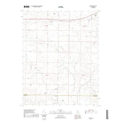
2017 Map of Montier
USGS Topo · Published 2017About this map
Montier and the outskirts of Birch Tree anchor this 2017 survey of the Missouri Ozarks, capturing the rural landscape where Shannon and Oregon counties meet. The terrain is defined by a dense network of hollows, including the curiously named Fly-Blow Hollow, Panther Hollow, and Pine Hollow, which drain into the meandering courses of Birch Creek and Spring Creek.
Find a feature on this map
52 named features on this map. Tap any name to fly to it.
Don’t see what you’re looking for? This feature index may not catch every label — zoom into the map to look around manually.
Map Details
Editions of this 2017 Montier Map
This is the sole edition of this map. No revisions or reprints were ever made.
Other maps of this area

1915 · Eminence
USGS Topo · 1:62,500

1917 · Eminence
USGS Topo · 1:62,500

1931 · Bandyville
USGS Topo · 1:48,000

1944 · Birch Tree
USGS Topo · 1:62,500

1945 · Montier
USGS Topo · 1:62,500

1946 · Summersville
USGS Topo · 1:62,500

1948 · Montier
USGS Topo · 1:62,500

1948 · Birch Tree
USGS Topo · 1:62,500

1948 · Summersville
USGS Topo · 1:62,500

1949 · Rolla
USGS Topo · 1:250,000