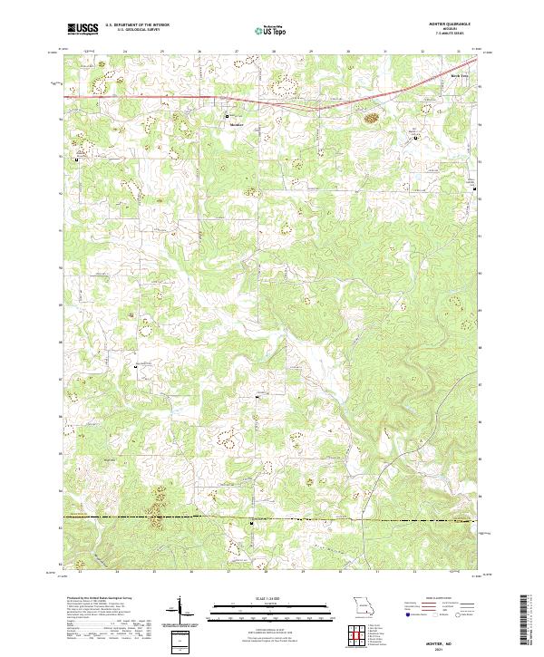
2021 Map of Montier
USGS Topo · Published 2021About this map
Montier and the western edge of Birch Tree anchor this rural landscape in the Ozark highlands of southern Missouri. The area is defined by a dense network of local county roads, such as Co RD 655, and state routes that wind through the hills and hollows. The settlement pattern is characterized by numerous small family and community burial grounds, including the Brown - DePriest Cem and the Old Baptist Cem. This 2021 survey reveals a landscape of high ridges and deep drainages, with High Hill rising above the surrounding terrain. Waterways like Spring Cr and Birch Cr carve through the topography, while landmarks such as Rough Hollow and Pine Hollow indicate the varied natural relief that has influenced local transit and land use for generations. The map also documents the transition from Shannon Co into Oregon Co to the south, highlighting the administrative boundaries of these timber-rich counties.
Find a feature on this map
56 named features on this map. Tap any name to fly to it.
Don’t see what you’re looking for? This feature index may not catch every label — zoom into the map to look around manually.
Map Details
Editions of this 2021 Montier Map
This is the sole edition of this map. No revisions or reprints were ever made.
Other maps of this area

1915 · Eminence
USGS Topo · 1:62,500

1917 · Eminence
USGS Topo · 1:62,500

1931 · Bandyville
USGS Topo · 1:48,000

1944 · Birch Tree
USGS Topo · 1:62,500

1945 · Montier
USGS Topo · 1:62,500

1946 · Summersville
USGS Topo · 1:62,500

1948 · Montier
USGS Topo · 1:62,500

1948 · Birch Tree
USGS Topo · 1:62,500

1948 · Summersville
USGS Topo · 1:62,500

1949 · Rolla
USGS Topo · 1:250,000