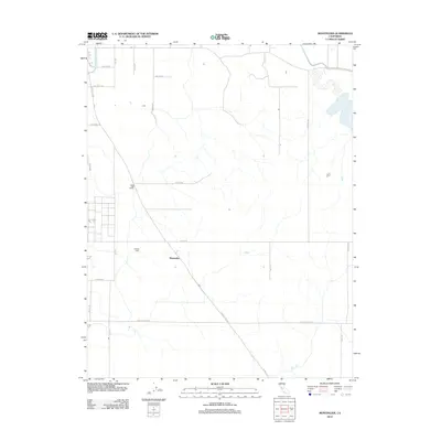
2012 Map of Montpelier
USGS Topo · Published 2012About this map
Montpelier serves as the central landmark in this portion of Stanislaus County, where the landscape is defined by the critical infrastructure of California's Central Valley water management. The agricultural character of the region is evident in specialized operations like Haringa Dairy, supported by an extensive network of irrigation works including the Turlock Main Canal and the High Line Canal. These waterways cut through a geometric grid of rural routes, from Lake Rd in the north to E Monte Vista Ave in the south.
Find a feature on this map
24 named features on this map. Tap any name to fly to it.
Don’t see what you’re looking for? This feature index may not catch every label — zoom into the map to look around manually.
Map Details
Editions of this 2012 Montpelier Map
This is the sole edition of this map. No revisions or reprints were ever made.
Other maps of this area

1913 · Dickenson
USGS Topo · 1:31,680

1915 · Paulsell
USGS Topo · 1:31,680

1916 · Three Tree Flat
USGS Topo · 1:31,680

1916 · Cressey
USGS Topo · 1:31,680

1916 · Montpellier
USGS Topo · 1:31,680

1916 · Cooperstown
USGS Topo · 1:31,680

1916 · Denair
USGS Topo · 1:31,680

1916 · Waterford
USGS Topo · 1:31,680

1917 · Turlock
USGS Topo · 1:31,680

1917 · Winton
USGS Topo · 1:31,680