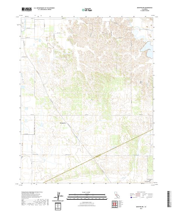
2021 Map of Montpelier
USGS Topo · Published 2021About this map
Montpelier serves as the central point of this modern survey of the San Joaquin Valley, where the landscape is defined by the rigid geometry of the Public Land Survey System. The map documents a highly developed agricultural corridor within the Central Valley, characterized by a dense network of local roads including Montpelier Rd, Lake Rd, and E Monte Vista Ave. Water management remains central to the region's character, evidenced by the Turlock Main Canal cutting across the northwestern corner. A notable jurisdictional boundary is recorded in the southern portion of the sheet, where the Stanislaus Co and Merced Co line divides the agricultural tracts. The terrain is relatively uniform, typical of the valley floor, yet the distribution of residential streets like Kooyman St and Hidden Hills Rd reveals the contemporary pattern of rural and suburban settlement in this part of California.
Find a feature on this map
31 named features on this map. Tap any name to fly to it.
Don’t see what you’re looking for? This feature index may not catch every label — zoom into the map to look around manually.
Map Details
Editions of this 2021 Montpelier Map
This is the sole edition of this map. No revisions or reprints were ever made.
Other maps of this area

1913 · Dickenson
USGS Topo · 1:31,680

1915 · Paulsell
USGS Topo · 1:31,680

1916 · Three Tree Flat
USGS Topo · 1:31,680

1916 · Cressey
USGS Topo · 1:31,680

1916 · Montpellier
USGS Topo · 1:31,680

1916 · Cooperstown
USGS Topo · 1:31,680

1916 · Denair
USGS Topo · 1:31,680

1916 · Waterford
USGS Topo · 1:31,680

1917 · Turlock
USGS Topo · 1:31,680

1917 · Winton
USGS Topo · 1:31,680