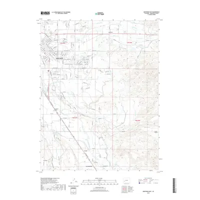
2019 Map of Montrose East
USGS Topo · Published 2019About this map
The city of Montrose serves as the focal point for this high-desert landscape, where the Uncompahgre River and an intricate network of irrigation systems sustain the region's agriculture. Tracing the development of the valley reveals a dense grid of water management features, including the Loutsenhizer Canal, the Montrose and Delta Canal, and several laterals like the A B C Lateral. These systems support smaller communities such as Fairview, Vernal, and Uncompahgre.
Find a feature on this map
118 named features on this map. Tap any name to fly to it.
Don’t see what you’re looking for? This feature index may not catch every label — zoom into the map to look around manually.
Map Details
Editions of this 2019 Montrose East Map
This is the sole edition of this map. No revisions or reprints were ever made.
Other maps of this area

1909 · Montrose
USGS Topo · 1:125,000

1911 · Montrose
USGS Topo · 1:125,000

1955 · Olathe
USGS Topo · 1:24,000

1955 · Red Rock Canyon
USGS Topo · 1:24,000

1956 · Montrose
USGS Topo · 1:250,000

1957 · Cerro Summit
USGS Topo · 1:24,000

1957 · Grizzly Ridge
USGS Topo · 1:24,000

1959 · Montrose
USGS Topo · 1:250,000

1960 · Montrose
USGS Topo · 1:250,000
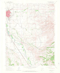
1962 · Montrose East
USGS Topo · 1:24,000