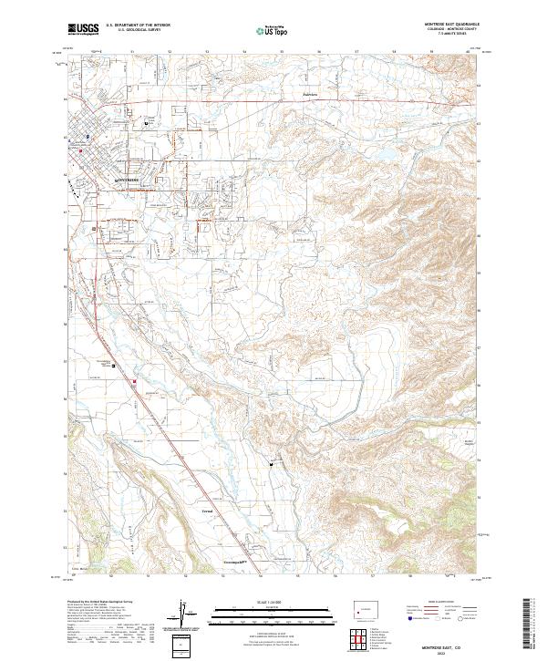
2022 Map of Montrose East
USGS Topo · Published 2022About this map
The Uncompahgre River defines the western edge of this Colorado landscape, where the city of Montrose expands eastward toward the high ground of Kinikin Heights. This territory is characterized by a sophisticated network of irrigation infrastructure essential to high-desert life, including the Loutsenhizer Canal, South Canal, and the Montrose and Delta Canal. These waterways snake across the terrain, supporting the orchards and fields between the urban center and smaller outlying points like Vernal and Fairview.
Find a feature on this map
48 named features on this map. Tap any name to fly to it.
Don’t see what you’re looking for? This feature index may not catch every label — zoom into the map to look around manually.
Map Details
Editions of this 2022 Montrose East Map
This is the sole edition of this map. No revisions or reprints were ever made.
Other maps of this area

1909 · Montrose
USGS Topo · 1:125,000

1911 · Montrose
USGS Topo · 1:125,000

1955 · Olathe
USGS Topo · 1:24,000

1955 · Red Rock Canyon
USGS Topo · 1:24,000

1956 · Montrose
USGS Topo · 1:250,000

1957 · Cerro Summit
USGS Topo · 1:24,000

1957 · Grizzly Ridge
USGS Topo · 1:24,000

1959 · Montrose
USGS Topo · 1:250,000

1960 · Montrose
USGS Topo · 1:250,000
1962 · Montrose East
USGS Topo · 1:24,000