
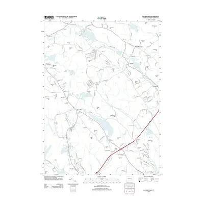
1935 Map of Montville
USGS Topo · Published 1935About this map
Chesterfield and Oakdale anchor this mid-1930s landscape, which reveals a complex network of early New London County water management and rural settlement. The terrain is defined by a succession of family-named heights such as Raymond Hill and Comstock Hill, interspersed with an extensive system of reservoirs including Stony Brook Reservoir, Barns Reservoir, and Bogue Brook Reservoir. The presence of the Yale Engineering Camp in the southwest near Powers Lake reflects the area's use for field study during this era.
Find a feature on this map
79 named features on this map. Tap any name to fly to it.
Don’t see what you’re looking for? This feature index may not catch every label — zoom into the map to look around manually.
Map Details
Editions of this 1935 Montville Map
This is the sole edition of this map. No revisions or reprints were ever made.
Historical Maps of Montville Through Time
61 maps found

1889 Stonington
New London County, CT

1893 Stonington
New London County, CT

1921 Stonington
New London County, CT
1935 Montville
New London County, CT

1939 Montville
New London County, CT

1941 Lyme
New London County, CT

1941 Uncasville
New London County, CT

1942 Block Island
New London County, CT

1943 Fitchville
New London County, CT

1943 Putnam
New London County, CT

1943 Voluntown
New London County, CT

1945 Colchester
New London County, CT

1951 Lyme
New London County, CT

1952 Hamburg
New London County, CT

1952 Uncasville
New London County, CT

1953 Colchester
New London County, CT

1953 Fitchville
New London County, CT

1953 Voluntown
New London County, CT

1958 Montville
New London County, CT

1958 Old Lyme
New London County, CT

1958 Uncasville
New London County, CT

1961 Hamburg
New London County, CT

1983 Fitchville
New London County, CT

1983 Montville
New London County, CT

1984 Uncasville
New London County, CT

2001 Voluntown
New London County, CT

2012 Colchester
New London County, CT

2012 Fitchville
New London County, CT

2012 Hamburg
New London County, CT

2012 Old Lyme
New London County, CT
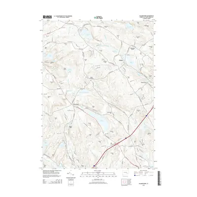
2012 Palmertown
New London County, CT

2012 Uncasville
New London County, CT

2012 Voluntown
New London County, CT

2015 Colchester
New London County, CT

2015 Fitchville
New London County, CT

2015 Hamburg
New London County, CT

2015 Old Lyme
New London County, CT
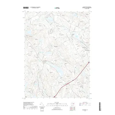
2015 Palmertown
New London County, CT

2015 Uncasville
New London County, CT

2015 Voluntown
New London County, CT

2018 Colchester
New London County, CT

2018 Fitchville
New London County, CT

2018 Hamburg
New London County, CT

2018 Old Lyme
New London County, CT
2018 Palmertown
New London County, CT

2018 Uncasville
New London County, CT

2018 Voluntown
New London County, CT

2021 Colchester
New London County, CT

2021 Fitchville
New London County, CT

2021 Hamburg
New London County, CT

2021 Old Lyme
New London County, CT

2021 Palmertown
New London County, CT

2021 Uncasville
New London County, CT

2021 Voluntown
New London County, CT

2024 Colchester
New London County, CT

2024 Fitchville
New London County, CT

2024 Hamburg
New London County, CT

2024 Old Lyme
New London County, CT

2024 Palmertown
New London County, CT

2024 Uncasville
New London County, CT

2024 Voluntown
New London County, CT