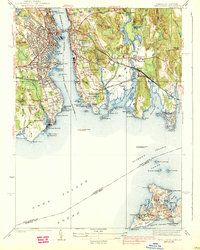
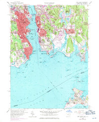
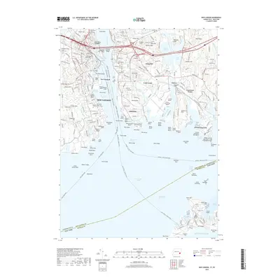
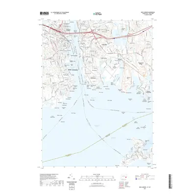
1938 Map of New London
USGS Topo · Published 1938About this map
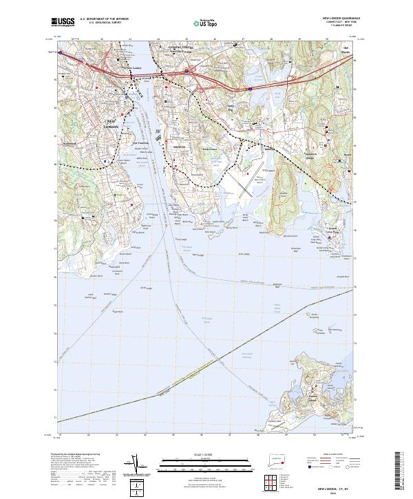
The Thames River serves as the central artery for this coastal landscape, dividing the busy maritime infrastructure of New London from the residential and military developments in Groton. In the mid-1930s, the western shore is defined by institutional landmarks such as the U S Coast Guard Academy, State Pier, and the Fort Trumbull C G Base guarding the inner harbor. Across the water, the settlement of Groton Heights sits above a shoreline punctuated by the New London Harbor Lighthouse and the Shenecossett Country Club.
Find a feature on this map
101 named features on this map. Tap any name to fly to it.
Don’t see what you’re looking for? This feature index may not catch every label — zoom into the map to look around manually.
Map Details
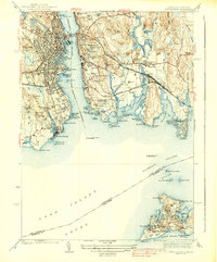
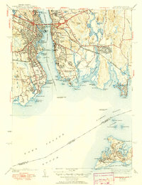
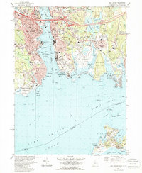
Editions of this 1938 New London Map
3 editions found
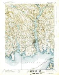
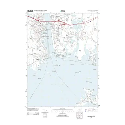
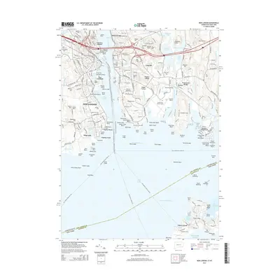
Historical Maps of Groton Through Time
11 maps found

1892 New London
New London County, CT
1893 New London
New London County, CT

1921 New London
New London County, CT
1938 New London
New London County, CT
1958 New London
New London County, CT
1984 New London
New London County, CT
2012 New London
New London County, CT
2015 New London
New London County, CT
2018 New London
New London County, CT
2021 New London
New London County, CT
2024 New London
New London County, CT