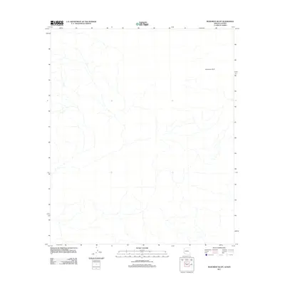
2011 Map of Monument Bluff
USGS Topo · Published 2011About this map
Monument Bluff rises as the primary landmark in this arid stretch of the Arizona-Sonora borderlands. This 2011 survey by the U. S. Geological Survey details a landscape defined by an intricate network of desert washes and drainage patterns that carve through the basin. Positioned along the international boundary between Arizona and Sonora, the map illustrates the stark topography of the region, where the terrain slopes toward the southwest across the border into Mexico. The absence of modern development or named settlements underscores the isolated nature of this desert environment, focusing instead on the natural landforms and the subtle elevation changes that define the corridor between the United States and Mexico.
Find a feature on this map
1 named feature on this map. Tap any name to fly to it.
Don’t see what you’re looking for? This feature index may not catch every label — zoom into the map to look around manually.
Map Details
Editions of this 2011 Monument Bluff Map
This is the sole edition of this map. No revisions or reprints were ever made.
Other maps of this area

1953 · Ajo
USGS Topo · 1:250,000

1954 · Sonoyta
USGS Topo · 1:250,000

1957 · Ajo
USGS Topo · 1:250,000

1958 · Ajo
USGS Topo · 1:250,000

1962 · Ajo
USGS Topo · 1:250,000

1963 · Ajo
USGS Topo · 1:250,000

1963 · Lukeville
USGS Topo · 1:250,000

1965 · O'Neill Hills
USGS Topo · 1:62,500

1965 · Sierra Arida
USGS Topo · 1:62,500

1967 · Ajo
USGS Topo · 1:250,000