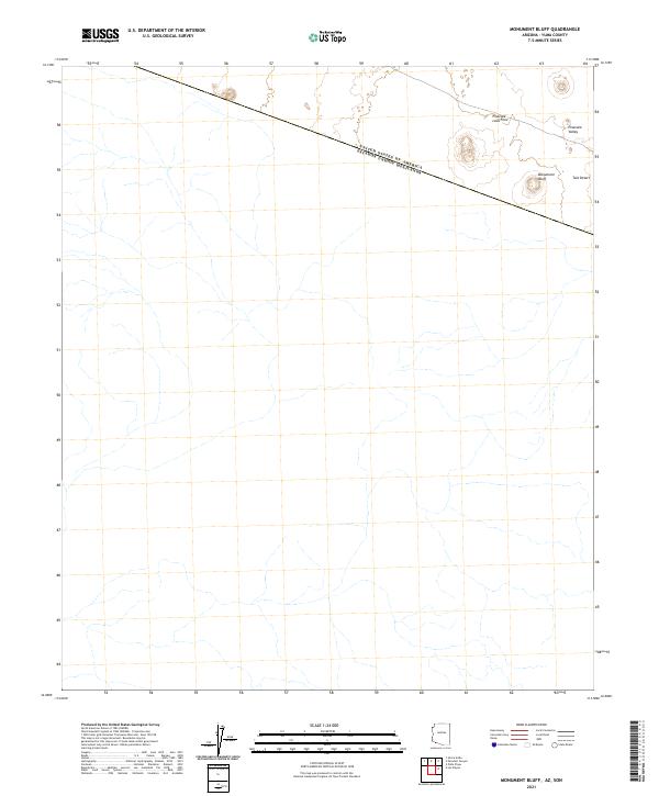
2021 Map of Monument Bluff
USGS Topo · Published 2021About this map
The United States of America Estados Unidos Mexicanos international boundary cuts diagonally across this arid landscape, defining the southernmost reaches of Yuma County. This remote desert terrain is dominated by the volcanic remnants of the Pinacate Lava Flow, which spills into the Pinacate Valley near the eastern edge of the quadrangle. The namesake Monument Bluff serves as a prominent landmark overlooking the expansive Tule Desert, an area characterized by shifting sands and sparse vegetation. Surveyed recently, the map illustrates how the natural features of the Sonoran Desert intersect with the formal political line of the border, where the lack of modern infrastructure highlights the extreme environment and historical isolation of this borderland region.
Find a feature on this map
7 named features on this map. Tap any name to fly to it.
Don’t see what you’re looking for? This feature index may not catch every label — zoom into the map to look around manually.
Map Details
Editions of this 2021 Monument Bluff Map
This is the sole edition of this map. No revisions or reprints were ever made.
Other maps of this area

1953 · Ajo
USGS Topo · 1:250,000

1954 · Sonoyta
USGS Topo · 1:250,000

1957 · Ajo
USGS Topo · 1:250,000

1958 · Ajo
USGS Topo · 1:250,000

1962 · Ajo
USGS Topo · 1:250,000

1963 · Ajo
USGS Topo · 1:250,000

1963 · Lukeville
USGS Topo · 1:250,000

1965 · O'Neill Hills
USGS Topo · 1:62,500

1965 · Sierra Arida
USGS Topo · 1:62,500

1967 · Ajo
USGS Topo · 1:250,000