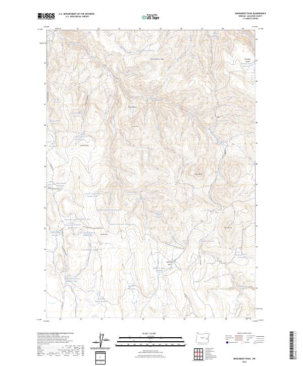
2024 Map of Monument Peak
USGS Topo · Published 2024About this map
Monument Peak and the surrounding high ridges of Malheur County define this remote landscape, where a sophisticated network of upland water management is revealed through dozens of named reservoirs. The terrain is characterized by expansive features like School Section Table and Deacon Flat, cut by deep drainages such as Clark Canyon and Conroy Canyon. The infrastructure here is primarily dedicated to rangeland water access, evidenced by the numbered series of Prava Peak Reservoirs and the Dinner Cr Reservoirs scattered across the basins. Access into these higher elevations is provided by the Monument Peak Guard Station Rd, which winds past landmarks like Jones Butte and Hunter Peak. The map highlights a landscape utilized for livestock and resource management, with features such as Sheep Camp Reservoir and Twin Tanks Spring indicating the area's practical historical use.
Find a feature on this map
54 named features on this map. Tap any name to fly to it.
Don’t see what you’re looking for? This feature index may not catch every label — zoom into the map to look around manually.
Map Details
Editions of this 2024 Monument Peak Map
This is the sole edition of this map. No revisions or reprints were ever made.
Other maps of this area

1955 · Burns
USGS Topo · 1:250,000

1955 · Boise
USGS Topo · 1:250,000

1958 · Burns
USGS Topo · 1:250,000

1958 · Boise
USGS Topo · 1:250,000

1959 · Burns
USGS Topo · 1:250,000

1962 · Boise
USGS Topo · 1:250,000

1966 · Westfall Butte
USGS Topo · 1:62,500

1966 · Beulah
USGS Topo · 1:62,500

1972 · Tims Peak
USGS Topo · 1:24,000

1972 · Shumway Reservoir
USGS Topo · 1:24,000