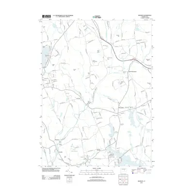
2012 Map of Moodus
USGS Topo · Published 2012About this map
The Salmon River flows through this corner of New London and Middlesex Counties, shaping the development of settlements like Leesville and North Westchester. The landscape is defined by its diverse water features, from the large Pocotopaug Lake and Pickerel Lake to the intricate network of Jeremy River and Blackledge River. This survey reveals the transition between these water-driven hamlets and the surrounding hills, including Baker Hill and Bull Hill.
Find a feature on this map
188 named features on this map. Tap any name to fly to it.
Don’t see what you’re looking for? This feature index may not catch every label — zoom into the map to look around manually.
Map Details
Editions of this 2012 Moodus Map
This is the sole edition of this map. No revisions or reprints were ever made.
Other maps of this area

1892 · Gilead
USGS Topo · 1:62,500

1893 · Guilford
USGS Topo · 1:62,500

1893 · Middletown
USGS Topo · 1:62,500

1893 · Saybrook
USGS Topo · 1:62,500

1906 · Farmington
USGS Topo · 1:125,000

1928 · Glastonbury
USGS Topo · 1:24,000

1944 · Marlboro
USGS Topo · 1:31,680

1944 · Columbia
USGS Topo · 1:31,680

1944 · Deep River
USGS Topo · 1:31,680

1945 · Middle Haddam
USGS Topo · 1:31,680