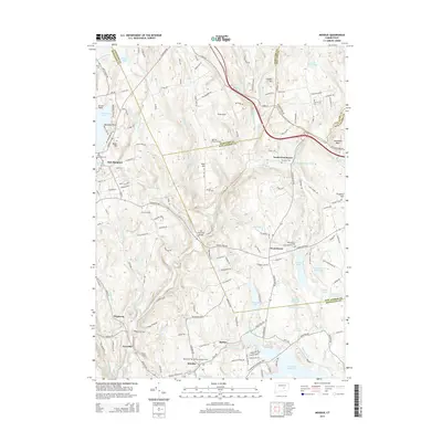
2015 Map of Moodus
USGS Topo · Published 2015About this map
The Salmon River and Blackledge River converge in this southeastern Connecticut landscape, where the colonial-era heritage of the region is visible through its dense network of named cemeteries and water-powered landmarks. The historic Old Comstock Bridge spans the waters near where Dickinson Cr meets the Salmon, serving as a focal point between the settlements of East Hampton and Westchester. To the south, the village of Moodus is surrounded by family and community grounds including Moodus Cem, Saint Bridgets Cem, and Basin Hill Cem.
Find a feature on this map
168 named features on this map. Tap any name to fly to it.
Don’t see what you’re looking for? This feature index may not catch every label — zoom into the map to look around manually.
Map Details
Editions of this 2015 Moodus Map
This is the sole edition of this map. No revisions or reprints were ever made.
Other maps of this area

1892 · Gilead
USGS Topo · 1:62,500

1893 · Guilford
USGS Topo · 1:62,500

1893 · Middletown
USGS Topo · 1:62,500

1893 · Saybrook
USGS Topo · 1:62,500

1906 · Farmington
USGS Topo · 1:125,000

1928 · Glastonbury
USGS Topo · 1:24,000

1944 · Marlboro
USGS Topo · 1:31,680

1944 · Columbia
USGS Topo · 1:31,680

1944 · Deep River
USGS Topo · 1:31,680

1945 · Middle Haddam
USGS Topo · 1:31,680