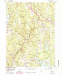
1967 Map of Moodus
USGS Topo · Published 1985About this map
Salmon River State Forest dominates the topography of this region, where the Salmon River carves a winding path through the borderlands of East Hampton, Colchester, and East Haddam. The map reflects a landscape defined by water and woods, from the recreational waters of Pocotopaug Lake and Moodus Reservoir to the numerous small ponds and brooks that feed the larger river system. A historic transportation network is evident, anchored by the New York New Haven and Hartford Railroad grade and the Old Comstock Bridge crossing. Settlement patterns are concentrated in villages like Moodus and East Hampton, while several family and town burial grounds, such as Lakeview Cem and Ponemah Cem, provide specific points of interest for genealogists tracing local lineage in this part of Connecticut during the mid-to-late twentieth century.
Find a feature on this map
60 named features on this map. Tap any name to fly to it.
Don’t see what you’re looking for? This feature index may not catch every label — zoom into the map to look around manually.
Map Details
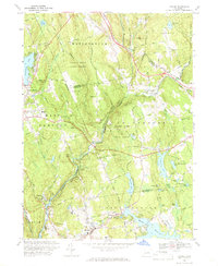
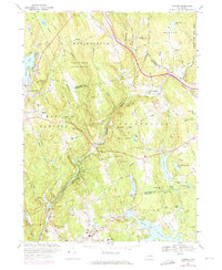
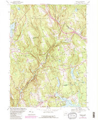
Editions of this 1967 Moodus Map
4 editions found
Other maps of this area

1892 · Gilead
USGS Topo · 1:62,500

1893 · Guilford
USGS Topo · 1:62,500

1893 · Middletown
USGS Topo · 1:62,500

1893 · Saybrook
USGS Topo · 1:62,500

1906 · Farmington
USGS Topo · 1:125,000

1928 · Glastonbury
USGS Topo · 1:24,000

1944 · Marlboro
USGS Topo · 1:31,680

1944 · Columbia
USGS Topo · 1:31,680

1944 · Deep River
USGS Topo · 1:31,680

1945 · Middle Haddam
USGS Topo · 1:31,680