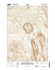
2017 Map of Moonlight Butte
USGS Topo · Published 2017About this map
Moonlight Butte rises as a prominent landmark in this high-desert landscape within Lake County, Oregon. The terrain is defined by its arid character and specific water management features, including the Sagehen Waterhole and Little Sagehen Waterhole. These named water sources, along with Bull Lake in the northwest, indicate the historical and modern importance of water rights and livestock management in the Great Basin region. The map also delineates Browns Valley to the east, illustrating how the natural topography dictates the flow of movement through this sparsely populated territory. This 2017 survey provides a precise look at the township and range divisions of t24s r20e and t25s r20e, serving as a vital record for land use and topographic study in the Oregon interior.
Find a feature on this map
7 named features on this map. Tap any name to fly to it.
Don’t see what you’re looking for? This feature index may not catch every label — zoom into the map to look around manually.
Map Details
Editions of this 2017 Moonlight Butte Map
This is the sole edition of this map. No revisions or reprints were ever made.
Other maps of this area

1955 · Crescent
USGS Topo · 1:250,000

1957 · Crescent
USGS Topo · 1:250,000

1958 · Crescent
USGS Topo · 1:250,000

1970 · Crescent
USGS Topo · 1:250,000

1981 · Fossil Lake
USGS Topo · 1:24,000

1981 · Sand Rock
USGS Topo · 1:24,000

1981 · Moonlight Butte
USGS Topo · 1:24,000

1981 · Mean Rock Well
USGS Topo · 1:24,000

1981 · Elk Butte
USGS Topo · 1:24,000

1981 · Chicago Valley
USGS Topo · 1:24,000