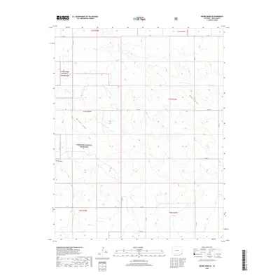
2019 Map of Moore Draw SE
USGS Topo · Published 2019About this map
Comanche National Grassland dominates this corner of Baca County, where the high plains are defined by a network of drainage channels and a rigid grid of county roads. The landscape is primarily shaped by the winding courses of Moore Draw, Mitchell Draw, and Murray Draw, which cut through the terrain to create a series of subtle ridges and valleys. Human presence is marked by the Public Land Survey System grid and an extensive network of rural routes, including Co Rd K and Co Rd G. This 2019 survey illustrates the intersection of federal protected lands and the organized agricultural layout typical of the Colorado plains, documenting the contemporary configuration of township and range lines across these grasslands.
Find a feature on this map
21 named features on this map. Tap any name to fly to it.
Don’t see what you’re looking for? This feature index may not catch every label — zoom into the map to look around manually.
Map Details
Editions of this 2019 Moore Draw SE Map
This is the sole edition of this map. No revisions or reprints were ever made.
Other maps of this area

1892 · Vilas
USGS Topo · 1:125,000

1954 · Dalhart
USGS Topo · 1:250,000

1955 · La Junta
USGS Topo · 1:250,000

1958 · La Junta
USGS Topo · 1:250,000

1958 · Dalhart
USGS Topo · 1:250,000

1962 · Dalhart
USGS Topo · 1:250,000

1968 · La Junta
USGS Topo · 1:250,000

1971 · Keyes NW
USGS Topo · 1:24,000

1971 · Keyes NE
USGS Topo · 1:24,000
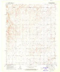
1971 · Sturgis NW
USGS Topo · 1:24,000