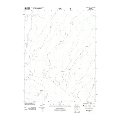
2011 Map of Moore Mesa
USGS Topo · Published 2011About this map
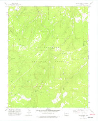
Moore Mesa and the adjacent highland plateaus dominate this Montrose County landscape, where deep drainages like Potter Creek and Monitor Creek carve through the terrain. The map reveals a specific pattern of land use centered on seasonal livestock management, evidenced by the numerous named stations such as Davis Cow Camp, Devils Cow Camp, and 41 Cow Camp. These camps are connected by an intricate network of primitive tracks including Monitor Mesa Trl and various spurs of the 7N Rd.
Find a feature on this map
50 named features on this map. Tap any name to fly to it.
Don’t see what you’re looking for? This feature index may not catch every label — zoom into the map to look around manually.
Map Details
Editions of this 2011 Moore Mesa Map
This is the sole edition of this map. No revisions or reprints were ever made.
Other maps of this area

1956 · Moab
USGS Topo · 1:250,000

1959 · Moab
USGS Topo · 1:250,000

1960 · Moab
USGS Topo · 1:250,000

1962 · Moab
USGS Topo · 1:250,000

1964 · Moab
USGS Topo · 1:250,000

1965 · Moab
USGS Topo · 1:250,000
1973 · Camel Back
USGS Topo · 1:24,000
1973 · Ute
USGS Topo · 1:24,000
1973 · Big Bucktail Creek
USGS Topo · 1:24,000
1973 · Antone Spring
USGS Topo · 1:24,000