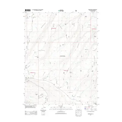
2013 Map of Moore Mesa
USGS Topo · Published 2013About this map
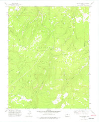
The high plateaus of Uncompahgre National Forest dominate this landscape in Montrose County, where a network of mesas and basins defines the local geography. High-altitude cattle ranching activity is evident through numerous named locations such as Blackburn Cow Camp, Boyden Cow Camp, and Beach Cow Camp, scattered across the drainages of Monitor Cr and Moore Cr. The map details a transition from the lower Tabeguache Basin to the prominent heights of Monitor Mesa and Moore Mesa.
Find a feature on this map
50 named features on this map. Tap any name to fly to it.
Don’t see what you’re looking for? This feature index may not catch every label — zoom into the map to look around manually.
Map Details
Editions of this 2013 Moore Mesa Map
This is the sole edition of this map. No revisions or reprints were ever made.
Other maps of this area

1956 · Moab
USGS Topo · 1:250,000

1959 · Moab
USGS Topo · 1:250,000

1960 · Moab
USGS Topo · 1:250,000

1962 · Moab
USGS Topo · 1:250,000

1964 · Moab
USGS Topo · 1:250,000

1965 · Moab
USGS Topo · 1:250,000
1973 · Camel Back
USGS Topo · 1:24,000
1973 · Ute
USGS Topo · 1:24,000
1973 · Big Bucktail Creek
USGS Topo · 1:24,000
1973 · Antone Spring
USGS Topo · 1:24,000