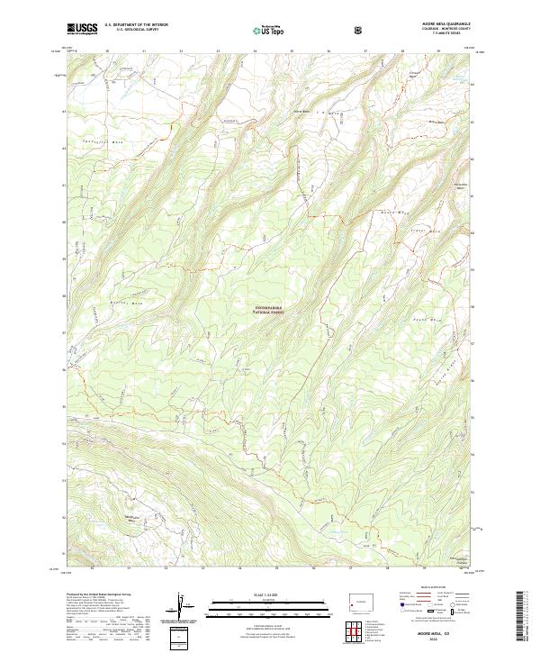
2022 Map of Moore Mesa
USGS Topo · Published 2022About this map
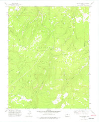
The Uncompahgre National Forest dominates this section of the Uncompahgre Plateau, where a complex network of canyons and high mesas defines the landscape. The geography is characterized by several prominent, flat-topped features including Twentyfive Mesa, Monitor Mesa, and Traver Mesa, each separated by deep drainages such as Potter Cr and Little Monitor Cr. Historically, this area served as a critical corridor for trans-plateau travel, evidenced by the presence of the Tabeguache (25 Mesa) Trl and the Roubideau Trl.
Find a feature on this map
57 named features on this map. Tap any name to fly to it.
Don’t see what you’re looking for? This feature index may not catch every label — zoom into the map to look around manually.
Map Details
Editions of this 2022 Moore Mesa Map
This is the sole edition of this map. No revisions or reprints were ever made.
Other maps of this area

1956 · Moab
USGS Topo · 1:250,000

1959 · Moab
USGS Topo · 1:250,000

1960 · Moab
USGS Topo · 1:250,000

1962 · Moab
USGS Topo · 1:250,000

1964 · Moab
USGS Topo · 1:250,000

1965 · Moab
USGS Topo · 1:250,000
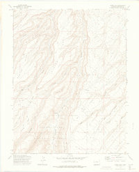
1973 · Camel Back
USGS Topo · 1:24,000
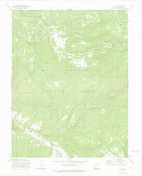
1973 · Ute
USGS Topo · 1:24,000
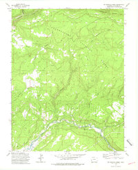
1973 · Big Bucktail Creek
USGS Topo · 1:24,000
1973 · Antone Spring
USGS Topo · 1:24,000