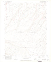
1973 Map of Moore Mesa
USGS Topo · Published 1976About this map
Uncompahgre National Forest dominates this high-altitude landscape, where high mesas are divided by a network of drainage basins and creeks. The 1973 field survey reveals a seasonal grazing economy through scattered outposts such as Beach Cow Camp, 41 Cow Camp, and Boyden Cow Camp. These camps are connected by a system of rugged tracks including Divide Road and the Copper King Road, tracing the ridgelines and valley floors between Monitor Mesa and Traver Mesa. Water sources are vital in this terrain, as evidenced by Cobb Spring, Hilkey Pond, and the numerous creeks flowing through Criswell and Moore Basin. The Presence of the Mesa Guard Sta near the northern boundary reflects the managed nature of these public lands, providing a clear look at the intersection of federal forest administration and traditional ranching operations during the early 1970s.
Find a feature on this map
47 named features on this map. Tap any name to fly to it.
Don’t see what you’re looking for? This feature index may not catch every label — zoom into the map to look around manually.
Map Details
Editions of this 1973 Moore Mesa Map
2 editions found
Other maps of this area

1956 · Moab
USGS Topo · 1:250,000

1959 · Moab
USGS Topo · 1:250,000

1960 · Moab
USGS Topo · 1:250,000

1962 · Moab
USGS Topo · 1:250,000

1964 · Moab
USGS Topo · 1:250,000

1965 · Moab
USGS Topo · 1:250,000
1973 · Camel Back
USGS Topo · 1:24,000
1973 · Ute
USGS Topo · 1:24,000
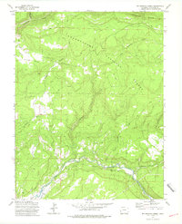
1973 · Big Bucktail Creek
USGS Topo · 1:24,000
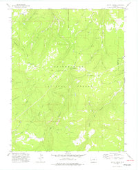
1973 · Antone Spring
USGS Topo · 1:24,000