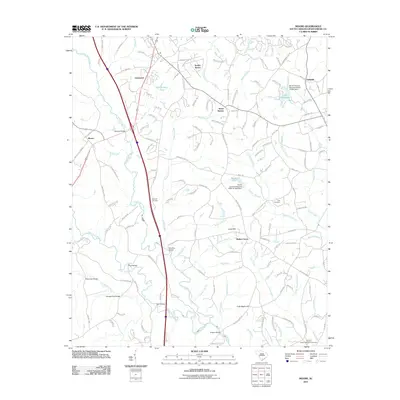
2011 Map of Moore
USGS Topo · Published 2011About this map
Smiths Tavern and Stone Station anchor the rural landscape of southern Spartanburg County in this early 21st-century survey. The terrain is defined by the convergence of the North Tyger River and South Tyger River, which are spanned by several named crossings including Moores Bridge, Marches Bridge, and Rogers Bridge. These waterways and their numerous tributaries, such as Wards Creek and Dutchman Creek, create a complex network of ridges and hollows that have historically dictated settlement patterns and road placements.
Find a feature on this map
158 named features on this map. Tap any name to fly to it.
Don’t see what you’re looking for? This feature index may not catch every label — zoom into the map to look around manually.
Map Details
Editions of this 2011 Moore Map
This is the sole edition of this map. No revisions or reprints were ever made.
Other maps of this area

1935 · Greer
USGS Topo · 1:48,000

1938 · Greer
USGS Topo · 1:62,500

1941 · Spartanburg
USGS Topo · 1:250,000

1947 · Spartanburg
USGS Topo · 1:62,500

1949 · Spartanburg
USGS Topo · 1:24,000

1949 · Spartanburg
USGS Topo · 1:62,500

1953 · Spartanburg
USGS Topo · 1:250,000

1954 · Greenville
USGS Topo · 1:250,000

1957 · Fountain Inn
USGS Topo · 1:62,500

1957 · Greer
USGS Topo · 1:62,500