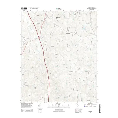
2014 Map of Moore
USGS Topo · Published 2014About this map
Roebuck and the surrounding Spartanburg County countryside are defined by a complex network of river crossings and small settlements in this 2014 survey. The landscape is bisected by the North Tyger River and South Tyger River, where numerous named spans like Moores Bridge, Price Bridge, and Rogers Bridge indicate long-established travel routes. The map records several legacy locales including Smiths Tavern and Walnut Grove, alongside modern aviation markers like Crooked Fence Farm Airport.
Find a feature on this map
161 named features on this map. Tap any name to fly to it.
Don’t see what you’re looking for? This feature index may not catch every label — zoom into the map to look around manually.
Map Details
Editions of this 2014 Moore Map
This is the sole edition of this map. No revisions or reprints were ever made.
Other maps of this area

1935 · Greer
USGS Topo · 1:48,000

1938 · Greer
USGS Topo · 1:62,500

1941 · Spartanburg
USGS Topo · 1:250,000

1947 · Spartanburg
USGS Topo · 1:62,500

1949 · Spartanburg
USGS Topo · 1:24,000

1949 · Spartanburg
USGS Topo · 1:62,500

1953 · Spartanburg
USGS Topo · 1:250,000

1954 · Greenville
USGS Topo · 1:250,000

1957 · Fountain Inn
USGS Topo · 1:62,500

1957 · Greer
USGS Topo · 1:62,500