2023 Map of Moorefield
USGS Topo · Published 2023About this map
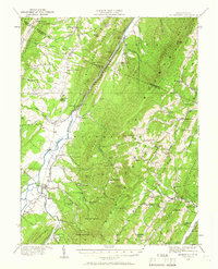
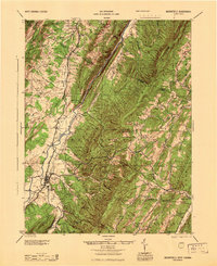
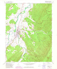
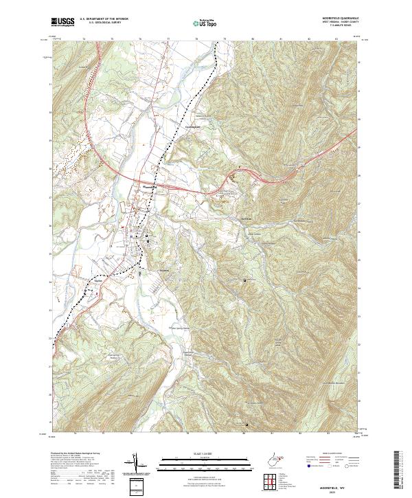
Moorefield serves as the focal point of this Hardy County study, where the South Branch Potomac River and the South Fork South Branch Potomac River converge. The town layout is clearly defined by historical thoroughfares like N Main St and Winchester Ave, leading to the Hardy County Courthouse and local landmarks such as Olivet Cem and Hill Cem. To the south, the industrial presence of Tannery is noted near the riverbank, while the higher elevations are marked by the Eastern West Virginia Community and Technical College.
Find a feature on this map
111 named features on this map. Tap any name to fly to it.
Don’t see what you’re looking for? This feature index may not catch every label — zoom into the map to look around manually.
Map Details
Editions of this 2023 Moorefield Map
This is the sole edition of this map. No revisions or reprints were ever made.
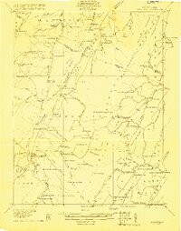
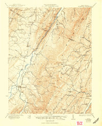
Historical Maps of Meadow Through Time
6 maps found