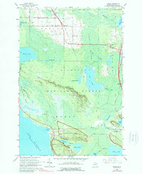
1964 Map of Moran
USGS Topo · Published 1989About this map
The Moran and Allenville settlements define the northern landscape of this Mackinac County survey, where the Soo Line railroad cuts a straight path through the sprawling Summerby Swamp. This mid-century view captures a coastal region anchored by its religious and social landmarks, including the Zion Ch and the Immaculate Conception Cem near the shores of Brevoort Lake. Much of the interior is managed as the Hiawatha National Forest, a terrain of dense wetlands and isolated lakes like Hay Lake and Cranberry Lake.
Find a feature on this map
50 named features on this map. Tap any name to fly to it.
Don’t see what you’re looking for? This feature index may not catch every label — zoom into the map to look around manually.
Map Details
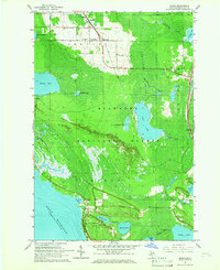
Editions of this 1964 Moran Map
2 editions found
Other maps of this area

1931 · St Ignace NW
USGS Topo · 1:31,680

1931 · Moran NE
USGS Topo · 1:31,680

1931 · Ozark SE
USGS Topo · 1:31,680

1948 · Moran NE
USGS Topo · 1:31,680

1948 · Moran NW
USGS Topo · 1:31,680

1954 · Sault Sainte Marie
USGS Topo · 1:250,000

1955 · Cheboygan
USGS Topo · 1:250,000

1956 · Sault Sainte Marie
USGS Topo · 1:250,000

1957 · Sault Sainte Marie
USGS Topo · 1:250,000

1958 · Cheboygan
USGS Topo · 1:250,000