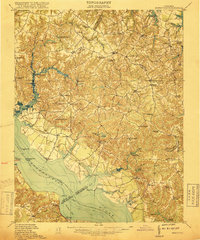
1917 Map of Morattico
USGS Topo · Published 1917About this map
The Rappahannock River serves as the central artery for this 1917 survey, where a designated Steamboat Route connects the wharves of Tidewater Virginia to the wider Chesapeake economy. The landscape is defined by the intersection of several counties, including Richmond, Lancaster, and Northumberland, where numerous family-run milling operations such as Gordys Millpond, Moores Mill, and Union Mill sit at the heads of tidal creeks.
Find a feature on this map
95 named features on this map. Tap any name to fly to it.
Don’t see what you’re looking for? This feature index may not catch every label — zoom into the map to look around manually.
Map Details
Editions of this 1917 Morattico Map
This is the sole edition of this map. No revisions or reprints were ever made.
Other maps of this area

1892 · Piney Point
USGS Topo · 1:62,500

1892 · Montross
USGS Topo · 1:62,500
1894 · Piney Point
USGS Topo · 1:62,500
1894 · Point Lookout
USGS Topo · 1:62,500

1895 · Nomini
USGS Topo · 1:125,000
1895 · Piney Point
USGS Topo · 1:62,500
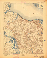
1895 · Montross
USGS Topo · 1:62,500

1898 · Nomini
USGS Topo · 1:125,000

1898 · St. Marys
USGS Topo · 1:125,000
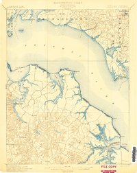
1901 · Piney Point
USGS Topo · 1:62,500