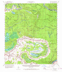
1962 Map of Moreauville
USGS Topo · Published 1967About this map
Moreauville and the surrounding alluvial plains of Avoyelles Parish are defined by the winding course of the Red River and its complex network of bayous and swampy lowlands. This mid-century survey illustrates a landscape deeply shaped by water, where settlements like Bordelonville and Hamburg follow the higher ground of the natural levees. The Kansas City Southern railroad cuts across the lower half of the quadrangle, serving as a vital transportation link for these river communities.
Find a feature on this map
111 named features on this map. Tap any name to fly to it.
Don’t see what you’re looking for? This feature index may not catch every label — zoom into the map to look around manually.
Map Details
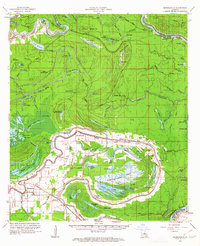
Editions of this 1962 Moreauville Map
2 editions found
Other maps of this area

1935 · Tooleys
USGS Topo · 1:62,500

1939 · Artonish
USGS Topo · 1:62,500

1939 · Deer Park
USGS Topo · 1:62,500

1940 · Marksville
USGS Topo · 1:62,500

1941 · Voorhies
USGS Topo · 1:62,500

1941 · Buckeye
USGS Topo · 1:62,500

1941 · Batchelor
USGS Topo · 1:62,500

1941 · Tooleys
USGS Topo · 1:62,500

1948 · Bunkie
USGS Topo · 1:62,500

1952 · Lake Charles
USGS Topo · 1:250,000