
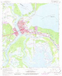
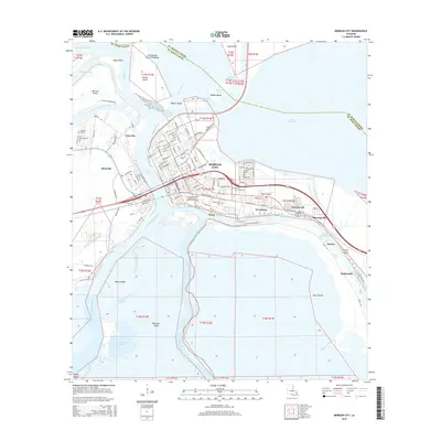
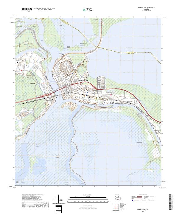
1954 Map of Morgan City
USGS Topo · Published 1954About this map
Berwick Bay and the Lower Atchafalaya River anchor this mid-century survey of the Louisiana wetlands. In the 1950s, Morgan City and Berwick serve as the industrial and transportation nexus where the Southern Pacific railroad and the Old Spanish Trail cross the deep waters of the bay. The map documents a landscape defined by the convergence of major waterways, including the Plaquemine-Morgan City Alternate Waterway and the Gulf Intracoastal Waterway.
Find a feature on this map
68 named features on this map. Tap any name to fly to it.
Don’t see what you’re looking for? This feature index may not catch every label — zoom into the map to look around manually.
Map Details
Editions of this 1954 Morgan City Map
This is the sole edition of this map. No revisions or reprints were ever made.
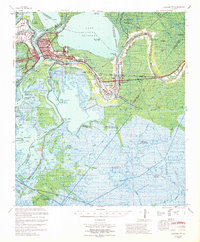
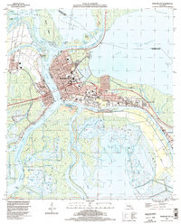
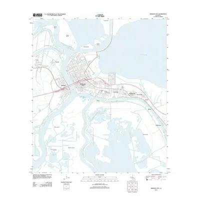
Historical Maps of Morgan City Through Time
11 maps found

1935 Morgan City
St. Mary Parish, LA
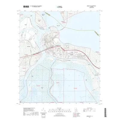
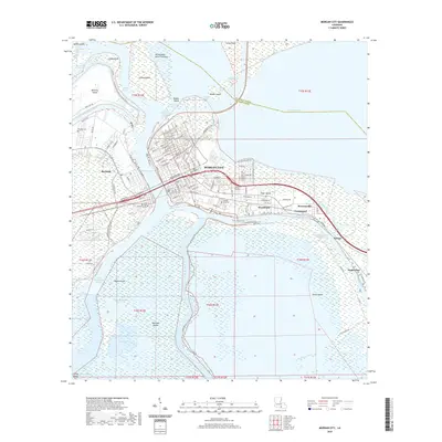
1954 Morgan City
St. Mary Parish, LA
1966 Morgan City
St. Mary Parish, LA
1967 Morgan City
St. Mary Parish, LA

1983 Morgan City
St. Mary Parish, LA
1994 Morgan City
St. Mary Parish, LA
2012 Morgan City
St. Mary Parish, LA
2015 Morgan City
St. Mary Parish, LA
2018 Morgan City
St. Mary Parish, LA
2020 Morgan City
St. Mary Parish, LA
2024 Morgan City
St. Mary Parish, LA