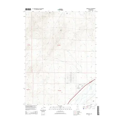
2014 Map of Morgan Hill
USGS Topo · Published 2014About this map
Humboldt River and its accompanying wetlands define the southeastern portion of this Elko County landscape, where the riparian corridor provides a stark contrast to the surrounding upland desert. In this 2014 survey, the lowland topography of Dennis Flats sits beneath the prominent heights of Peko Peak and the Peko Hills. The map captures a unique planned residential layout north of the river, characterized by a dense grid of streets named after waterfowl, including Mallard Ave, Canvasback Ave, and Ringneck Ave. These roads intersect with Red Barns road, signaling a transition from the drainage basins of Winter Cr and Smith Cr toward more modern land use. The hydrological network is further supported by Warm Springs and several ephemeral drainages like Spring Cr and Reed Cr, which illustrate the complex water distribution system of this high-elevation basin.
Find a feature on this map
28 named features on this map. Tap any name to fly to it.
Don’t see what you’re looking for? This feature index may not catch every label — zoom into the map to look around manually.
Map Details
Editions of this 2014 Morgan Hill Map
This is the sole edition of this map. No revisions or reprints were ever made.
Other maps of this area

1935 · Halleck
USGS Topo · 1:125,000

1955 · Wells
USGS Topo · 1:250,000

1955 · Elko
USGS Topo · 1:250,000

1958 · Wells
USGS Topo · 1:250,000

1958 · Elko
USGS Topo · 1:250,000

1961 · Wells
USGS Topo · 1:250,000

1962 · Elko
USGS Topo · 1:250,000

1962 · Ryndon
USGS Topo · 1:24,000

1965 · Elko
USGS Topo · 1:250,000

1967 · Twin Buttes
USGS Topo · 1:24,000