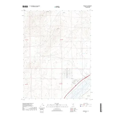
2018 Map of Morgan Hill
USGS Topo · Published 2018About this map
Peko Peak and the Peko Hills dominate the northern terrain of this Elko County landscape, where high-desert drainage systems like Winter Cr and Spring Cr flow toward the valley floor. The map illustrates a transition from the elevated peaks of Morgan Hill to the flatter alluvial reaches of Dennis Flats in the southeast. In this lower basin, the Humboldt River corridor serves as a primary transit artery, paralleled by the path of I 80. A localized grid of residential streets near the river features avian-themed names such as Mallard St, Canvas Back Ave, and Gadwall Ave, signaling a pocket of modern development amidst the broader basin-and-range topography. Water remains a focal point of the area's geography, evidenced by the presence of Warm Springs and several seasonal creeks including Smith Cr and Reed Cr.
Find a feature on this map
29 named features on this map. Tap any name to fly to it.
Don’t see what you’re looking for? This feature index may not catch every label — zoom into the map to look around manually.
Map Details
Editions of this 2018 Morgan Hill Map
This is the sole edition of this map. No revisions or reprints were ever made.
Other maps of this area

1935 · Halleck
USGS Topo · 1:125,000

1955 · Wells
USGS Topo · 1:250,000

1955 · Elko
USGS Topo · 1:250,000

1958 · Wells
USGS Topo · 1:250,000

1958 · Elko
USGS Topo · 1:250,000

1961 · Wells
USGS Topo · 1:250,000

1962 · Elko
USGS Topo · 1:250,000

1962 · Ryndon
USGS Topo · 1:24,000

1965 · Elko
USGS Topo · 1:250,000

1967 · Twin Buttes
USGS Topo · 1:24,000